


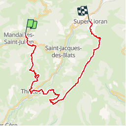

12,8 km | 24 km-effort


Utilisateur


Application GPS de randonnée GRATUITE
 SityTrail
IGN / Instituts géographiques
SityTrail World
Le monde est à vous
Randonnée Marche nordique de 30 km à découvrir à Auvergne-Rhône-Alpes, Cantal, Mandailles-Saint-Julien. Cette randonnée est proposée par zemarge.
Mandailles - Super Lioran
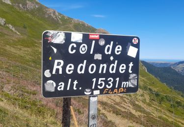
L'idéal est de faire du stop jusqu'au Col du Pertus ou St Jacques des blats

Marche

Marche
Marche

V.T.C.
Marche
Marche
Marche
Marche
Marche