


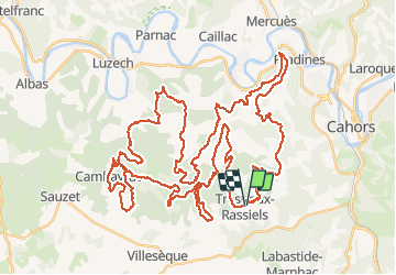

62 km | 81 km-effort


Utilisateur


Application GPS de randonnée GRATUITE
 SityTrail
IGN / Instituts géographiques
SityTrail World
Le monde est à vous
Randonnée V.T.T. de 74 km à découvrir à Occitanie, Lot, Trespoux-Rassiels. Cette randonnée est proposée par J-Mi.
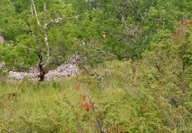
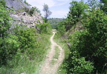
Un RAID VTT hors normes avec des mono traces et du technique pour les puristes. Les KM s'enchainent dans des paysages magnifiques.
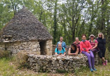
Bon RAID J-Michel

V.T.T.
Marche


Marche

V.T.T.

Course à pied

Marche
V.T.T.
Marche