


17,1 km | 21 km-effort


Utilisateur


Application GPS de randonnée GRATUITE
 SityTrail
IGN / Instituts géographiques
SityTrail World
Le monde est à vous
Randonnée Marche de 17,2 km à découvrir à Grand Est, Meurthe-et-Moselle, Moyen. Cette randonnée est proposée par claudemoret.
Château de "Qui-Qu'en-Grogne". Ruines de Lana (villa gallo-romaine). Cimetières militaires Allemand et Français côte à côte.
Visite du château sur demande.

Marche
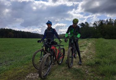
V.T.T.

V.T.T.
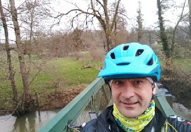
V.T.T.
V.T.T.
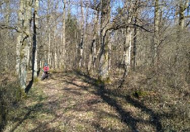
V.T.T.

V.T.T.
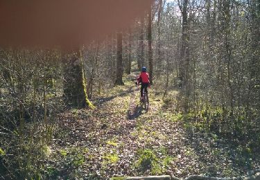
Marche
Marche