Randonnée Marche Pavie - Autour de Pavie - Photo

Autour de Pavie

 tracegps
tracegps

Utilisateur

© OpenStreetMap contributors
Longueur
Longueur
7,5 km
Altitude max
Altitude max
250 m
Dénivelé positif
Dénivelé positif
134 m
Km-Effort
Km-Effort  
9,3 km
Altitude min
Altitude min
137 m
Dénivelé négatif
Dénivelé négatif
136 m
Boucle
Boucle
Oui
Date de création :
2014-12-10 00:00:00.0
Dernière modification :
2014-12-10 00:00:00.0

(0 Avis)

Marche
Marche
2h00
Difficulté : Moyen

Scannez ce code QR pour ouvrir la randonnée dans l'application SityTrail

Application GPS de randonnée GRATUITE

Logo SityTrail SityTrail

IGN / Instituts géographiques

Télécharger SityTrail sur l'App Store Télécharger SityTrail sur Google Play

Logo SityTrail SityTrail World

Le monde est à vous

Télécharger SityTrail sur l'App Store Télécharger SityTrail sur Google Play Télécharger SityTrail sur Huawei AppGallery

À propos

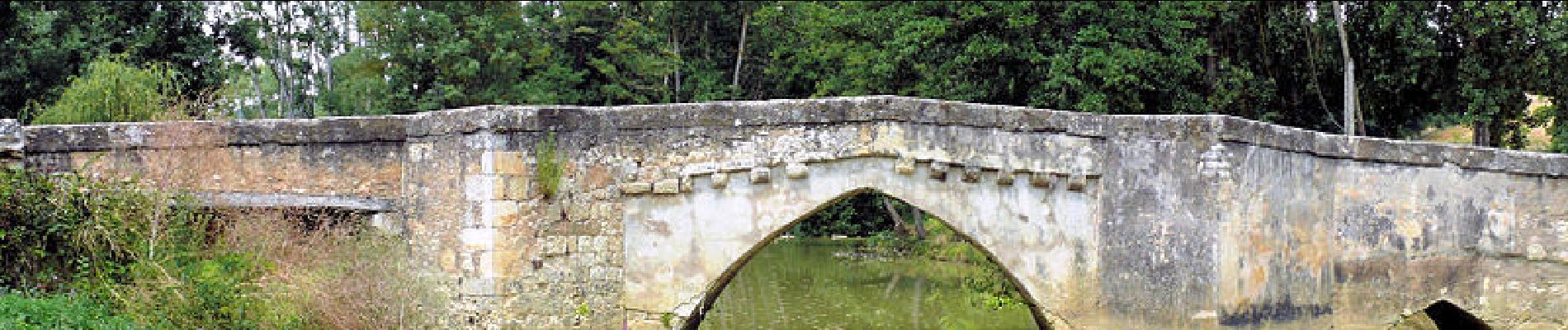
Randonnée Marche de 7,5 km à découvrir à Occitanie, Gers, Pavie. Cette randonnée est proposée par tracegps.

Description

Jolie balade autour du Gers.

Profil altimétrique

Photos

Points d'intérêt

Point d'intérêt Pavie - 001 - Photo
tracegps
PAVIE 
Point d'intérêt Pavie - 002 - Photo
tracegps
PAVIE 
Point d'intérêt Pavie - 003 - Photo
tracegps
PAVIE 
Point d'intérêt Pavie - 004 - Photo
tracegps
PAVIE 
Point d'intérêt Pavie - 005 - Photo
tracegps
PAVIE 
Point d'intérêt Pavie - 006 - Photo
tracegps
PAVIE 
Point d'intérêt Pavie - 007 - Photo
tracegps
PAVIE 
Point d'intérêt Pavie - 008 - Photo
tracegps
PAVIE 
Point d'intérêt Pavie - 009 - Photo
tracegps
PAVIE 
Point d'intérêt Pavie - 010 - Photo
tracegps
PAVIE 
Point d'intérêt Pavie - 011 - Photo
tracegps
PAVIE 
Point d'intérêt Pavie - 012 - Photo
tracegps
PAVIE 
Point d'intérêt Pavie - 013 - Photo
tracegps
PAVIE 
Point d'intérêt Pavie - 014 - Photo
tracegps
PAVIE 
Point d'intérêt Pavie - 015 - Photo
tracegps
PAVIE 
Point d'intérêt Pavie - 016 - Photo
tracegps
PAVIE 
Point d'intérêt Pavie - 017 - Photo
tracegps
PAVIE 
Point d'intérêt Pavie - 018 - Photo
tracegps
PAVIE 
Point d'intérêt Pavie - 019 - Photo
tracegps
PAVIE 
Point d'intérêt Pavie - 020 - Photo
tracegps
PAVIE 
Point d'intérêt Pavie - 021 - Photo
tracegps
PAVIE 
Point d'intérêt Pavie - 022 - Photo
tracegps
PAVIE 

Localisation

Pays :
France
Région :
Occitanie
Département/Province :
Gers
Commune :
Pavie
Localité :
Unknown
Départ:(Dec)
Départ:(UTM)
305909 ; 4831454 (31T) N.

Randonnées à proximité

Randonnée Cyclotourisme Auch - Auch - Coeurs de Gascogne - Photo
Cyclotourisme
potofe

Cyclotourisme

Moyen
Auch, Occitanie, Gers, France
129 km | 155 km-effort
Inconnu
Oui
Randonnée Marche Pavie - Pavie PR2 - Photo
Marche
lataboge

Marche

Facile
Pavie, Occitanie, Gers, France
9,8 km | 11,9 km-effort
Inconnu
Oui
Randonnée Marche Pavie - Pavie  - Photo
Marche
Pascal Bernaud

Marche

Moyen
Pavie, Occitanie, Gers, France
6,3 km | 7,6 km-effort
1h 48min
Oui
Randonnée Marche Pavie - Pavie Auterive  - Photo
Marche
Pascal Bernaud

Marche

Moyen
Pavie, Occitanie, Gers, France
7 km | 8,4 km-effort
2h 8min
Oui
Randonnée Marche Pavie - Pavie - Photo
Marche
Pascal Bernaud

Marche

Difficile
Pavie, Occitanie, Gers, France
10,8 km | 14,1 km-effort
3h 4min
Oui
Randonnée Marche Montégut - Étape 2 - Photo
Marche
Camsity

Marche

Très facile
Montégut, Occitanie, Gers, France
27 km | 33 km-effort
22h 0min
Non
Randonnée Marche Auch - 05.05.17 Auch  Montesquiou - Photo
Marche
donda

Marche

Très difficile
Auch, Occitanie, Gers, France
31 km | 39 km-effort
8h 29min
Non
Randonnée Marche Auch - S-J-AUCH-L''ISLE de NOE - Photo
Marche
CANON2

Marche

Moyen
Auch, Occitanie, Gers, France
24 km | 30 km-effort
6h 18min
Non
Randonnée Marche Auch - auch1 - Photo
Marche
phil 26

Marche

Très facile
Auch, Occitanie, Gers, France
1,3 km | 1,8 km-effort
25min
Non


Fermer
Mes abonnements