13,1 km | 21 km-effort
Bouxwiller Raedersdorf Cicogne
meggstone
Utilisateur
Longueur
19,7 km
Altitude max
592 m
Dénivelé positif
501 m
Km-Effort
26 km
Altitude min
400 m
Dénivelé négatif
503 m
Boucle
Oui
Date de création :
2015-12-29 00:00:00.0
Dernière modification :
2015-12-29 00:00:00.0
3h13
Difficulté : Facile
Application GPS de randonnée GRATUITE
À propos
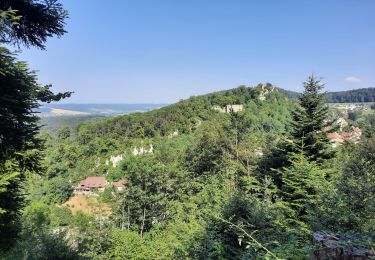
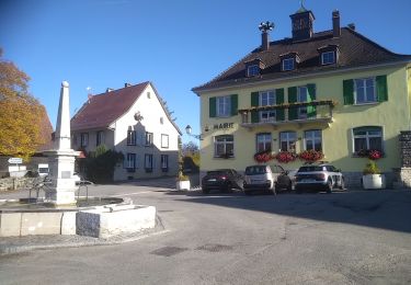
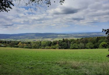
Randonnée Cheval de 19,7 km à découvrir à Grand Est, Haut-Rhin, Bouxwiller. Cette randonnée est proposée par meggstone.
Localisation
Pays :
France
Région :
Grand Est
Département/Province :
Haut-Rhin
Commune :
Bouxwiller
Localité :
Unknown
Départ:(Dec)
Départ:(UTM)
375954 ; 5262337 (32T) N.
Commentaires
Randonnées à proximité
sortie vtt 14082024
Vélo électrique
Facile
Bouxwiller,
Grand Est,
Haut-Rhin,
France
41 km | 50 km-effort
2h 55min
Oui
Rando 05/07/2024
Marche
Difficile
Wolschwiller,
Grand Est,
Haut-Rhin,
France
11,7 km | 17,5 km-effort
3h 15min
Oui
Rando CLAS du 09/05/202..par PBo
Marche
Très difficile
Wolschwiller,
Grand Est,
Haut-Rhin,
France
20 km | 30 km-effort
4h 24min
Oui
Reco Rando CLAS du 09/05/2024
Marche
Très difficile
Wolschwiller,
Grand Est,
Haut-Rhin,
France
18,9 km | 28 km-effort
3h 54min
Oui
Ferrette ,château, grotte des nains,rossberg
Marche
Difficile
Ferrette,
Grand Est,
Haut-Rhin,
France
8,6 km | 13,7 km-effort
5h 1min
Oui
Le sentier des douaniers - Wolschwiller
Marche
Moyen
(1)
Wolschwiller,
Grand Est,
Haut-Rhin,
France
12,2 km | 18,1 km-effort
3h 30min
Oui
rdpr 20200929 lutter
Marche
Difficile
Lutter,
Grand Est,
Haut-Rhin,
France
15,8 km | 23 km-effort
4h 52min
Oui
wolschwiller
Marche
Facile
Wolschwiller,
Grand Est,
Haut-Rhin,
France
7,3 km | 12,7 km-effort
4h 15min
Non