


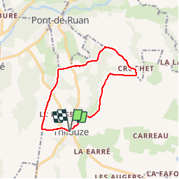


22 km | 24 km-effort


Utilisateur


Application GPS de randonnée GRATUITE
 SityTrail
IGN / Instituts géographiques
SityTrail World
Le monde est à vous
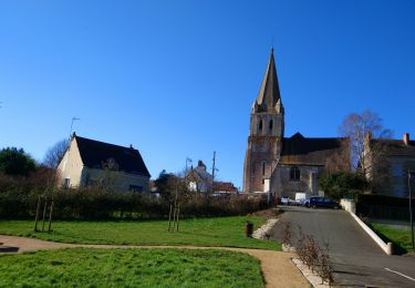
Randonnée Marche de 11,6 km à découvrir à Centre-Val de Loire, Indre-et-Loire, Thilouze. Cette randonnée est proposée par LEMENIO.
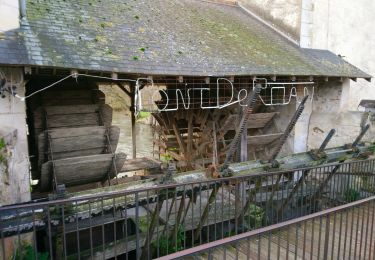
Départ : Place de l'église - le lavoir communal est en bas du village à 100 mètres où passe la rivière "la Thilouze".
Marche
Marche
Marche
Marche
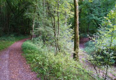
Marche
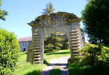
Marche

Marche

Marche
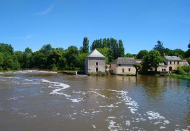
Marche