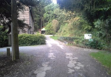
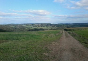
18,4 km | 24 km-effort
RLB2017-2
BBROSSET
Utilisateur
Longueur
16,7 km
Altitude max
409 m
Dénivelé positif
316 m
Km-Effort
21 km
Altitude min
173 m
Dénivelé négatif
281 m
Boucle
Non
Date de création :
2019-05-07 03:16:05.75
Dernière modification :
2019-05-07 03:16:05.75
6m
Difficulté : Inconnu
Application GPS de randonnée GRATUITE
À propos
Randonnée Cheval de 16,7 km à découvrir à Wallonie, Luxembourg, Hotton. Cette randonnée est proposée par BBROSSET.
Description
Routier 2017 E2
Localisation
Pays :
Belgique
Région :
Wallonie
Département/Province :
Luxembourg
Commune :
Hotton
Localité :
Hotton
Départ:(Dec)
Départ:(UTM)
674656 ; 5571204 (31U) N.
Commentaires
Randonnées à proximité
RF-Lu-03 Sur la Calestienne, entre Ardenne et Famenne : Hotton
Marche
Très facile
(3)
Hotton,
Wallonie,
Luxembourg,
Belgique
11,7 km | 15,3 km-effort
3h 16min
Oui
Arboretum et Ourthe
Marche
Moyen
(3)
Rendeux,
Wallonie,
Luxembourg,
Belgique
9 km | 12 km-effort
3h 15min
Oui
Fronville - Monteuville - Petihan
Marche
Facile
(1)
Hotton,
Wallonie,
Luxembourg,
Belgique
13 km | 14,8 km-effort
2h 11min
Oui
Saint-Pierre
Marche
Facile
(3)
Hotton,
Wallonie,
Luxembourg,
Belgique
10,9 km | 12,1 km-effort
2h 43min
Oui
promenade de lourthe
Marche
Difficile
(3)
Rendeux,
Wallonie,
Luxembourg,
Belgique
8,1 km | 11 km-effort
2h 35min
Oui
De werpin a werpin via Trinal
Marche
Facile
(1)
Hotton,
Wallonie,
Luxembourg,
Belgique
9,3 km | 12,4 km-effort
2h 38min
Oui