


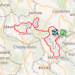


16,4 km | 21 km-effort


Utilisateur


Application GPS de randonnée GRATUITE
 SityTrail
IGN / Instituts géographiques
SityTrail World
Le monde est à vous
Randonnée Marche de 19,3 km à découvrir à Auvergne-Rhône-Alpes, Ain, Vongnes. Cette randonnée est proposée par patpounet73.
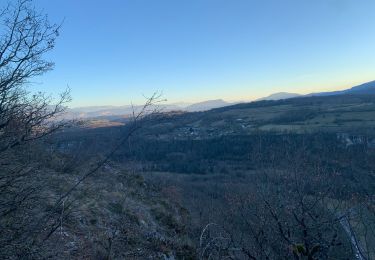
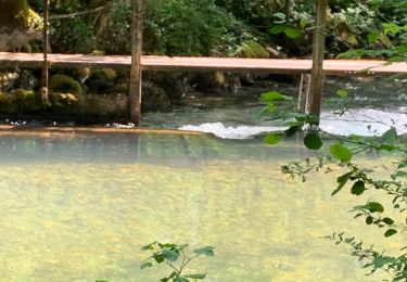
Belle randonnée familiale. Notre seule difficulté a été de trouver le sentier qui longe le coté est du lac de Chavoley. Cadre champêtre très reposant.Les villages traversés sont magnifiques, beaucoup de maisons restaurées avec goût.


V.T.T.
V.T.T.
V.T.T.
Marche

sport
V.T.C.
V.T.T.

V.T.T.
V.T.T.