


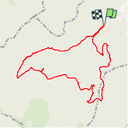

10,3 km | 16,4 km-effort


Utilisateur


Application GPS de randonnée GRATUITE
 SityTrail
IGN / Instituts géographiques
SityTrail World
Le monde est à vous
Randonnée Marche de 11,2 km à découvrir à Grand Est, Haut-Rhin, Moosch. Cette randonnée est proposée par JCLUTT.
Belle randonnée à la portée de tous avec un point de vue absolument somptueux à partir de l'abri du Blaufels!

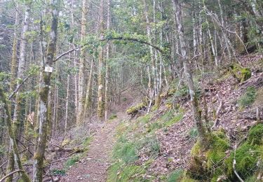
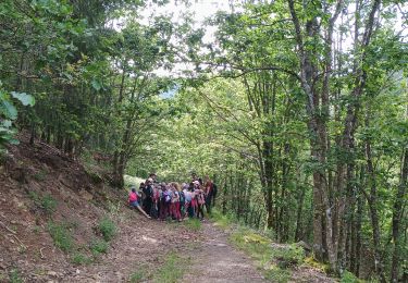
A pied

Marche
Marche
Marche


Marche

Marche
Marche

V.T.C.