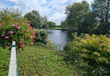
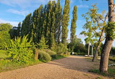
18,1 km | 21 km-effort
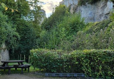
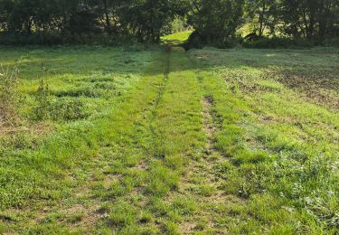
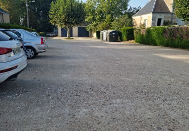
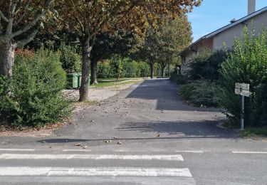
Lavardin - 3.9km 75m 1h00 - 2018 01 14
Orcal37
Utilisateur GUIDE
Longueur
3,9 km
Altitude max
136 m
Dénivelé positif
78 m
Km-Effort
4,9 km
Altitude min
69 m
Dénivelé négatif
77 m
Boucle
Oui
Date de création :
2019-05-07 01:57:22.491
Dernière modification :
2019-08-11 15:38:17.657
1h00
Difficulté : Très facile
Application GPS de randonnée GRATUITE
À propos
Randonnée Marche de 3,9 km à découvrir à Centre-Val de Loire, Loir-et-Cher. Cette randonnée est proposée par Orcal37.
Description
Lavardin - 3.9km 75m 1h00 - 2018 01 14
Localisation
Pays :
France
Région :
Centre-Val de Loire
Département/Province :
Loir-et-Cher
Commune :
LAVARDIN
Localité :
Unknown
Départ:(Dec)
Départ:(UTM)
341396 ; 5289800 (31T) N.
Commentaires
Randonnées à proximité
Saint-Martin-des-Bois - Entre plateau et vallée - 18.1km 225m 4h10 (30mn) - 2...
Marche
Très facile
(1)
Saint-Martin-des-Bois,
Centre-Val de Loire,
Loir-et-Cher,
France
4h 10min
Oui
Lavardin - Vallée du Loir - 25.2km 410m 6h00 (40mn) - 2015 08 22
Marche
Moyen
,
Centre-Val de Loire,
Loir-et-Cher,
France
25 km | 31 km-effort
6h 0min
Oui
Lavardin - Chemin de la roue des Carriers
Marche
Moyen
,
Centre-Val de Loire,
Loir-et-Cher,
France
12,9 km | 15,5 km-effort
3h 31min
Oui
Villavard - Bois et champs
Marche
Moyen
Villavard,
Centre-Val de Loire,
Loir-et-Cher,
France
10,5 km | 13,2 km-effort
3h 0min
Oui
Saint-Rimay
Marche
Moyen
Saint-Rimay,
Centre-Val de Loire,
Loir-et-Cher,
France
11,3 km | 14,2 km-effort
3h 14min
Oui
Houssay
Marche
Moyen
Houssay,
Centre-Val de Loire,
Loir-et-Cher,
France
11,5 km | 14,3 km-effort
2h 36min
Oui
Les Roches-l'Evêque
Marche
Moyen
Les Roches-l'Évêque,
Centre-Val de Loire,
Loir-et-Cher,
France
8,8 km | 11,1 km-effort
2h 31min
Oui
Sasnières - Forêt de Prunay
Marche
Moyen
Sasnières,
Centre-Val de Loire,
Loir-et-Cher,
France
10,6 km | 12,4 km-effort
2h 48min
Oui
Sasnières Nord
Marche
Moyen
Sasnières,
Centre-Val de Loire,
Loir-et-Cher,
France
11,4 km | 13,7 km-effort
3h 6min
Oui