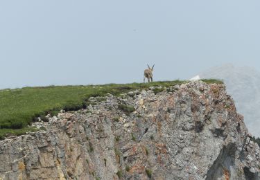
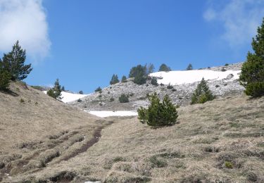
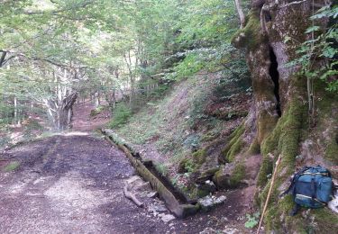
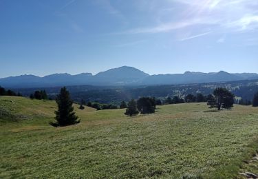
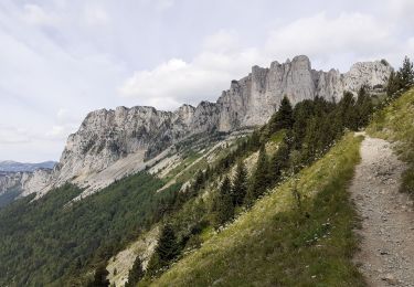
14,3 km | 31 km-effort
J1 LIGNE VERCORS ALLER
ophness
Utilisateur
Longueur
22 km
Altitude max
1679 m
Dénivelé positif
1063 m
Km-Effort
35 km
Altitude min
1009 m
Dénivelé négatif
824 m
Boucle
Non
Date de création :
2019-05-07 01:45:27.23
Dernière modification :
2019-05-07 01:45:27.23
--
Difficulté : Inconnu
Application GPS de randonnée GRATUITE
À propos
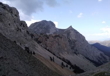
Randonnée Cheval de 22 km à découvrir à Auvergne-Rhône-Alpes, Isère, Chichilianne. Cette randonnée est proposée par ophness.
Localisation
Pays :
France
Région :
Auvergne-Rhône-Alpes
Département/Province :
Isère
Commune :
Chichilianne
Localité :
Unknown
Départ:(Dec)
Départ:(UTM)
703249 ; 4966069 (31T) N.
Commentaires
Randonnées à proximité
Grand Ceymont par la face Sud
Marche
Difficile
(1)
Saint-Michel-les-Portes,
Auvergne-Rhône-Alpes,
Isère,
France
6h 0min
Oui
Vallée de Combau - TêteChevalière
Marche
Facile
(4)
Châtillon-en-Diois,
Auvergne-Rhône-Alpes,
Drôme,
France
10,2 km | 17,1 km-effort
4h 0min
Oui
Le Platary
Marche
Moyen
(2)
Chichilianne,
Auvergne-Rhône-Alpes,
Isère,
France
6,6 km | 12,1 km-effort
2h 29min
Oui
La Fontaine Pourrie - Hauts Plateaux Sud du Vercors
Marche
Moyen
(2)
Chichilianne,
Auvergne-Rhône-Alpes,
Isère,
France
19,4 km | 33 km-effort
7h 45min
Oui
traversée Sud nord du Grand Veymont
Marche
Difficile
Gresse-en-Vercors,
Auvergne-Rhône-Alpes,
Isère,
France
26 km | 40 km-effort
10h 42min
Non
38 Chichilianne Tour du Mont Aiguille
Marche
Très difficile
(1)
Chichilianne,
Auvergne-Rhône-Alpes,
Isère,
France
17,7 km | 33 km-effort
7h 27min
Oui
chichilianne archiane
Raquettes à neige
Moyen
(1)
Chichilianne,
Auvergne-Rhône-Alpes,
Isère,
France
18,9 km | 32 km-effort
8h 0min
Non
Diois 2024 1ère journée
Marche
Moyen
Chichilianne,
Auvergne-Rhône-Alpes,
Isère,
France
22 km | 35 km-effort
4h 59min
Non
Vallon de Combeau
Marche
Difficile
Châtillon-en-Diois,
Auvergne-Rhône-Alpes,
Drôme,
France
12,2 km | 19,5 km-effort
4h 51min
Oui