


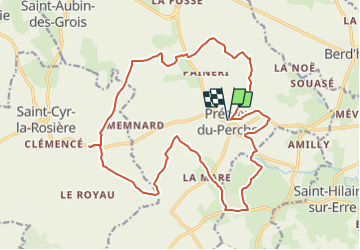


11,3 km | 13,2 km-effort


Utilisateur


Application GPS de randonnée GRATUITE
 SityTrail
IGN / Instituts géographiques
SityTrail World
Le monde est à vous
Randonnée Marche de 20 km à découvrir à Normandie, Orne, Perche en Nocé. Cette randonnée est proposée par neitag61.
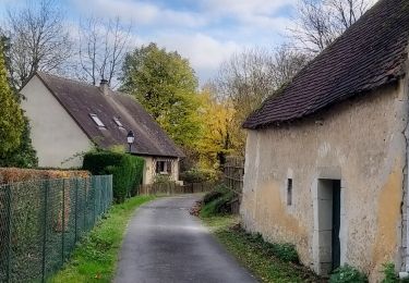
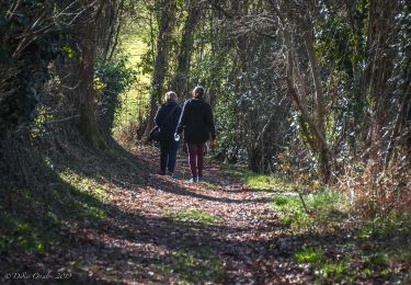
Très beau circuit de 20Km
Départ de l''église de Préaux du Perche
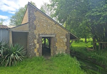
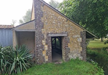
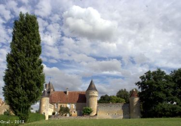
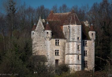
Passage à mi chemin au Prieuré de Ste Gauburge et Ecomusée du Perche
Marche
Marche
Marche
Marche
Marche
Marche
Marche

Marche
Marche