


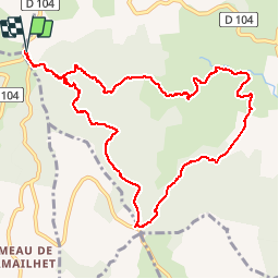

16,3 km | 25 km-effort


Utilisateur


Application GPS de randonnée GRATUITE
 SityTrail
IGN / Instituts géographiques
SityTrail World
Le monde est à vous
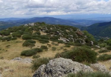
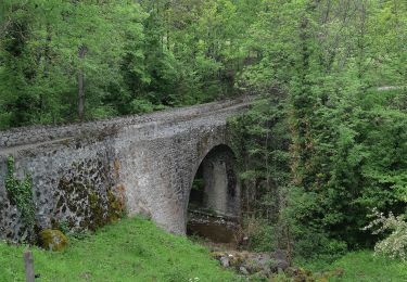
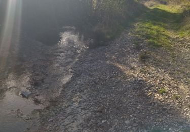
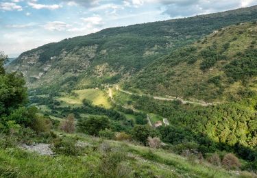
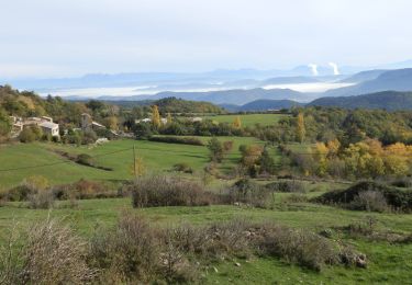
Randonnée Marche de 12 km à découvrir à Auvergne-Rhône-Alpes, Ardèche, Saint-Priest. Cette randonnée est proposée par Lustou.
Rando du 18/06/2018
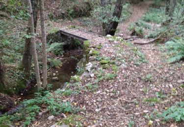
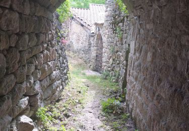
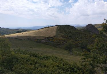
En descendant de la Chévre écorchée prendre à gauche le sentier qui va directement à La garde. Le tour par Théoule, le Gleizal manque d'intêret (route goudronnée)
Marche
Course à pied
Vélo de route
Marche

Marche
Marche
Marche
Marche
Marche