


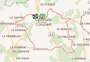

22 km | 28 km-effort


Utilisateur


Application GPS de randonnée GRATUITE
 SityTrail
IGN / Instituts géographiques
SityTrail World
Le monde est à vous
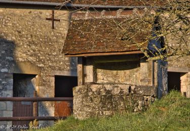
Randonnée Marche de 10,7 km à découvrir à Normandie, Orne, Perche en Nocé. Cette randonnée est proposée par neitag61.
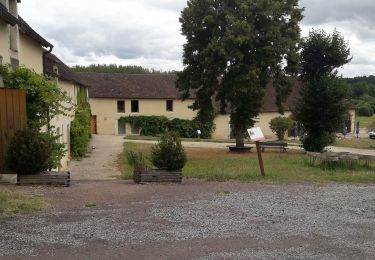
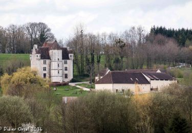
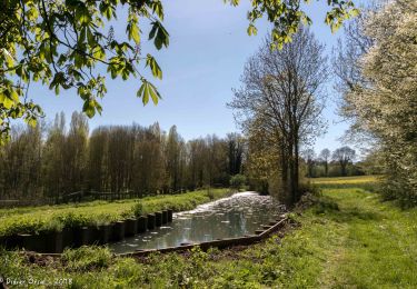
Superbe Circuit avec de multiples vues sur les vallons du Perche et un passage au Manoir de Courboyer ( Maison du Parc Régional du Perche )
circuit pédestre, équestre et VTT

Marche
Marche
Marche

Marche

Marche
Marche

Marche
Marche

Marche