


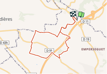

18,8 km | 23 km-effort


Utilisateur


Application GPS de randonnée GRATUITE
 SityTrail
IGN / Instituts géographiques
SityTrail World
Le monde est à vous
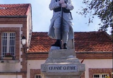
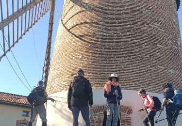
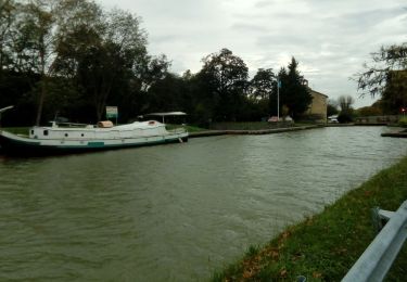
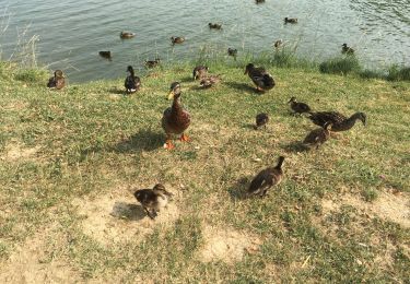
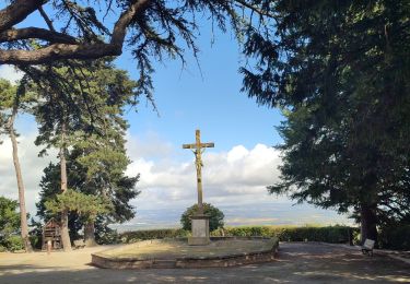
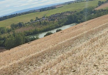
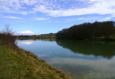
Randonnée Marche de 9,9 km à découvrir à Occitanie, Haute-Garonne, Nailloux. Cette randonnée est proposée par FLOCON.
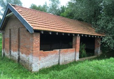
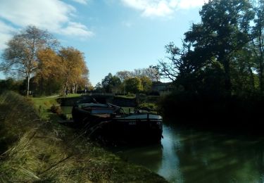
MOULIN DE NAILLOUX
Course à pied
Marche
Marche
Marche
Marche
Marche
Marche
Marche