


8,2 km | 9,8 km-effort

Utilisateur


Application GPS de randonnée GRATUITE
 SityTrail
IGN / Instituts géographiques
SityTrail World
Le monde est à vous
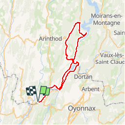
Randonnée Vélo de 55 km à découvrir à Bourgogne-Franche-Comté, Jura, Thoirette-Coisia. Cette randonnée est proposée par tracegps.
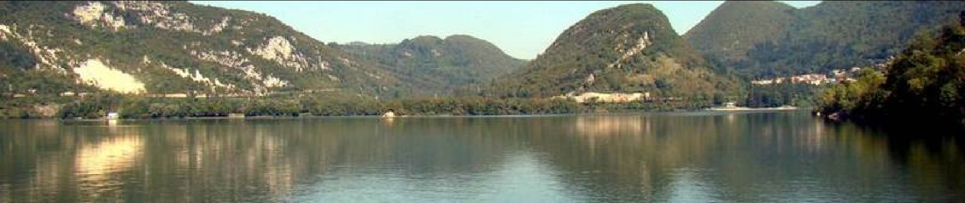
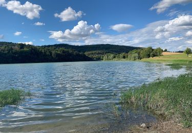
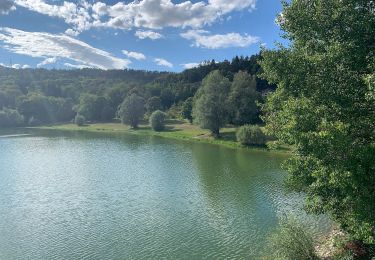
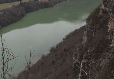
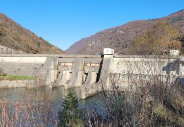
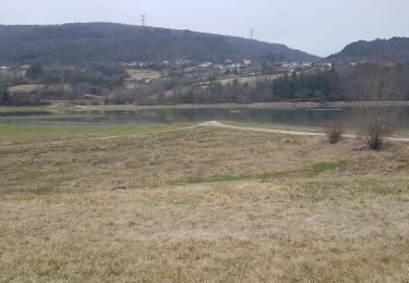
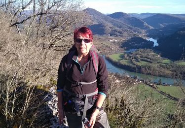
Circuit proposé par l'Office de Tourisme des lacs et petite montagne. La vallée de l’Ain, 3 barrages dont celui de Vouglans, le 3ème de France, l’Ain se transforme en magnifiques lacs aux couleurs bleues ou vertes. Vous retrouverez ici une concentration de cyclistes (jonction avec l’Ain à vélo). Des variantes pour ne faire que quelques boucles. Départ de Thoirette. Un carnet de 16 fiches cyclo, en vente 5 € à l’Office de Tourisme, propose des circuits cyclo autour des lacs et en Petite Montagne de 15 à 100 km sur des petites routes tranquilles sans trop de dénivelé pour découvrir les curiosités de la région.


A pied
A pied
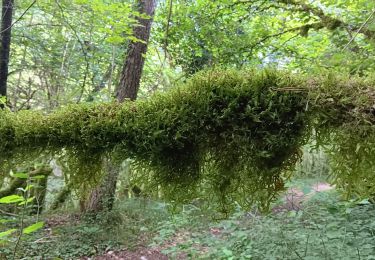
Marche
Marche
Marche

Marche

V.T.C.
Marche
Marche