


14,1 km | 16,5 km-effort

Utilisateur


Application GPS de randonnée GRATUITE
 SityTrail
IGN / Instituts géographiques
SityTrail World
Le monde est à vous
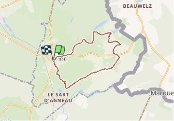
Randonnée V.T.T. de 11,5 km à découvrir à Hauts-de-France, Nord, Anor. Cette randonnée est proposée par tracegps.
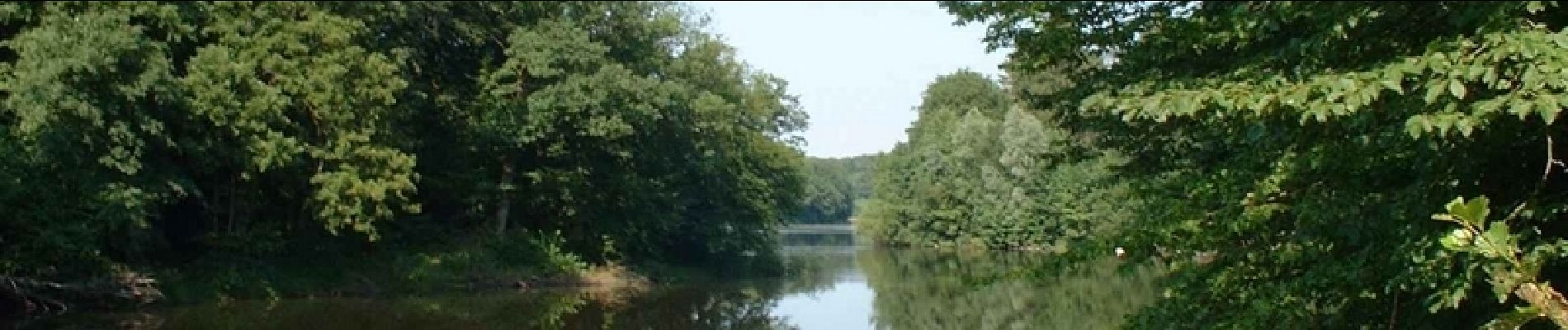
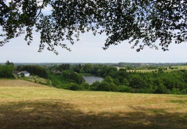
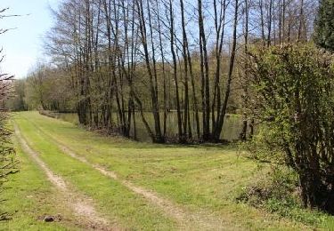
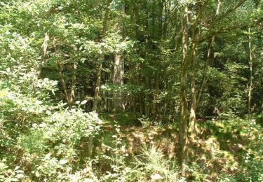
Circuit proposé par le comité départemental du Nord/et l’office de tourisme d’Anor. Départ du parc Despret d’Anor. Parcours VTT, accessible à tous, toute l’année. Il présentera cependant des difficultés en période de pluie (passages boueux). Le long de cette promenade familiale, l’eau est omniprésente (étangs, rivières, cascades) et les sentiers forestiers nombreux. Retrouvez ce circuit sur le site du Comité Départemental du Tourisme du Nord.
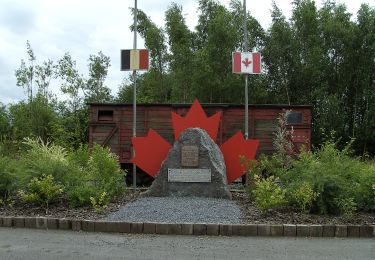
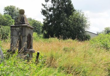
 - Anor - Photo 1")
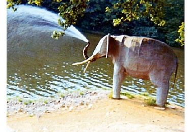
 - Anor - Photo 2")
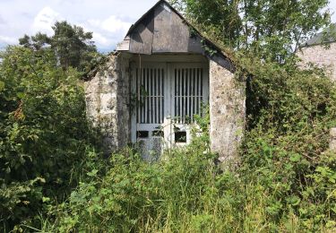
 - Anor - Photo 3")
Marche
Marche
Marche
Marche
Marche

Marche
Marche
Marche
V.T.T.