


7 km | 8,7 km-effort


Utilisateur


Application GPS de randonnée GRATUITE
 SityTrail
IGN / Instituts géographiques
SityTrail World
Le monde est à vous
Randonnée Marche de 9,3 km à découvrir à Occitanie, Hautes-Pyrénées, Siarrouy. Cette randonnée est proposée par tracegps.
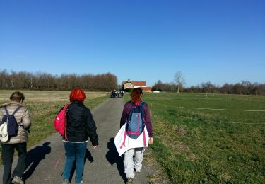
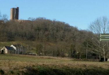
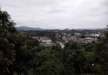
Circuit proposé par la communauté de communes de Vic-Montaner et l'Office de Tourisme de Vic-Montaner. Départ près du foyer rural de Siarrouy. Cette agréable balade d'abord en plaine puis en forêts et collines vous offrira un panorama depuis le sommet de la colline, la vallée de la Géline, et les maisons pittoresques de Talazac et de Siarrouy. Retrouvez le circuit et son descriptif sur le site de l'office de Tourisme de Vic-Montaner.


A pied

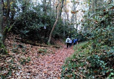
Marche
Marche
Marche
A pied
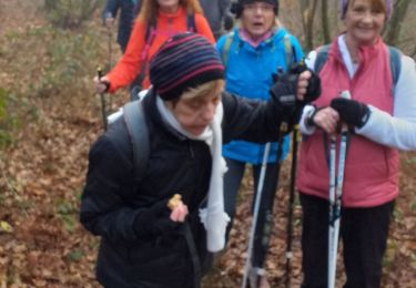
Marche nordique
Marche nordique

V.T.T.
Marche