


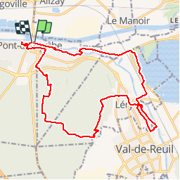

8,7 km | 9,3 km-effort

Utilisateur


Application GPS de randonnée GRATUITE
 SityTrail
IGN / Instituts géographiques
SityTrail World
Le monde est à vous
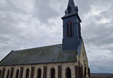
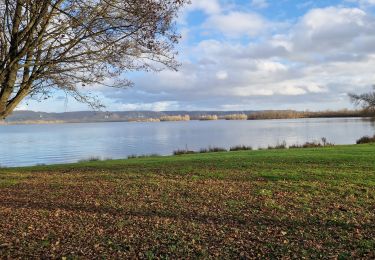
Randonnée Marche de 21 km à découvrir à Normandie, Eure, Pont-de-l'Arche. Cette randonnée est proposée par MichelRando7656.
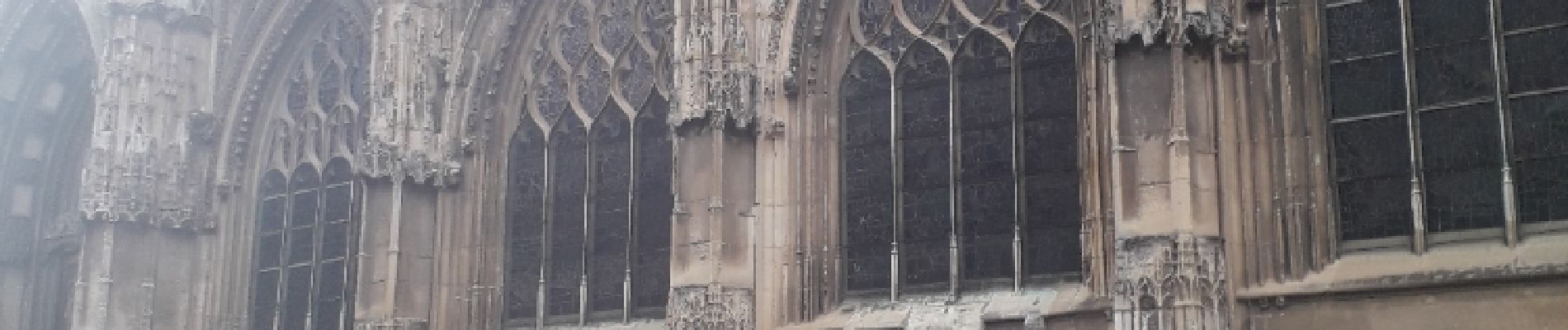
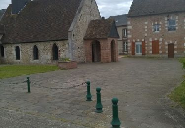
Chemins de traverse, routes campagnardes et chemins forestiers pour le retour. Visite rapide des anciennes maisons et anciens remparts.


Marche

Trail

Marche
Marche

Marche

Marche
Marche
Marche
Marche