


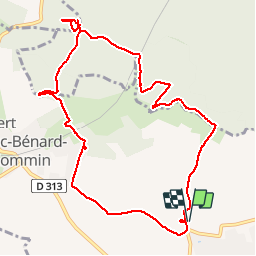

12,5 km | 15,3 km-effort

Utilisateur


Application GPS de randonnée GRATUITE
 SityTrail
IGN / Instituts géographiques
SityTrail World
Le monde est à vous
Randonnée Marche de 10,3 km à découvrir à Normandie, Eure, Grand-Bourgtheroulde. Cette randonnée est proposée par MichelRando7656.
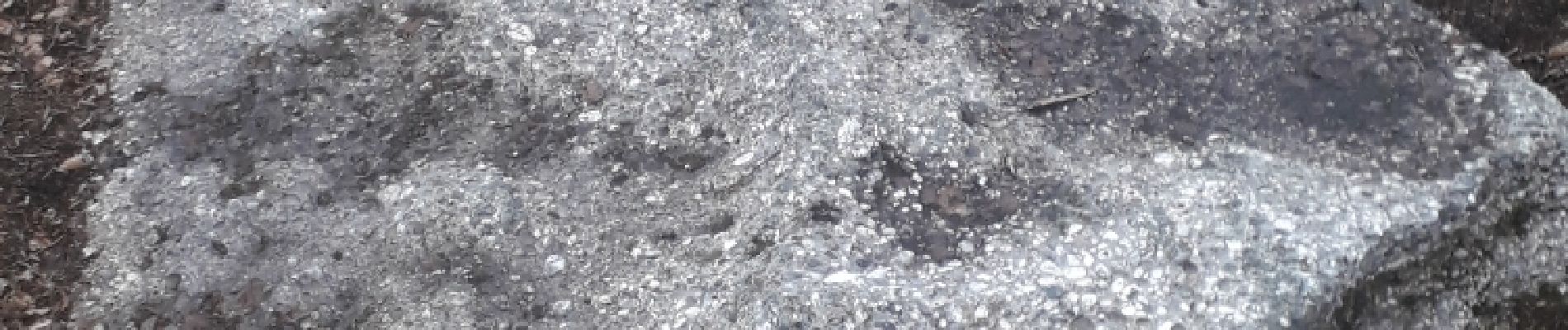
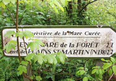
Chemins forestiers parfois boueux. Pierre plate (dite Tournante). Quelques cotes. Un peu de petites routes pour finir.


Marche

Marche

Marche

Marche
Marche
Marche
Marche
Marche
Marche