


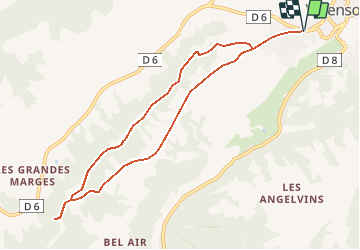


15 km | 19,1 km-effort


Utilisateur


Application GPS de randonnée GRATUITE
 SityTrail
IGN / Instituts géographiques
SityTrail World
Le monde est à vous
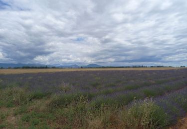
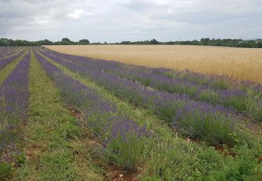
Randonnée Marche de 9,4 km à découvrir à Provence-Alpes-Côte d'Azur, Alpes-de-Haute-Provence, Valensole. Cette randonnée est proposée par aubr.
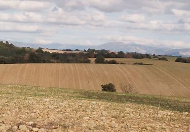
Pour le retour à partir du point 559 le circuit emprunte une route goudronnée, vous pouvez suivre le sentier jaune "le ravin de la Forge" à droite pour revenir au point de départ.
Marche

Marche
Marche
Marche
Marche
Marche
Marche
Marche

Marche