


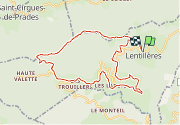


13,6 km | 23 km-effort


Utilisateur


Application GPS de randonnée GRATUITE
 SityTrail
IGN / Instituts géographiques
SityTrail World
Le monde est à vous
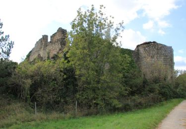
Randonnée Marche de 11,3 km à découvrir à Auvergne-Rhône-Alpes, Ardèche, Lentillères. Cette randonnée est proposée par nfranche.
Rando qui nous fait monter sur une crête d'où l'on découvre un panorama exceptionnel sur le plateau ardéchois, le bassin d'Aubenas et le Vercors.

Marche
Marche

Marche

Marche
Marche

Marche

Marche
Marche
Marche