


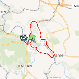

11,2 km | 12,9 km-effort


Utilisateur


Application GPS de randonnée GRATUITE
 SityTrail
IGN / Instituts géographiques
SityTrail World
Le monde est à vous
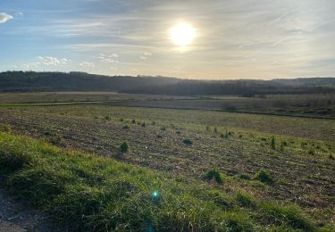
Randonnée V.T.T. de 11 km à découvrir à Nouvelle-Aquitaine, Pyrénées-Atlantiques, Bidache. Cette randonnée est proposée par tracegps.
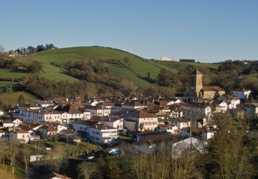
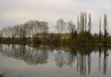
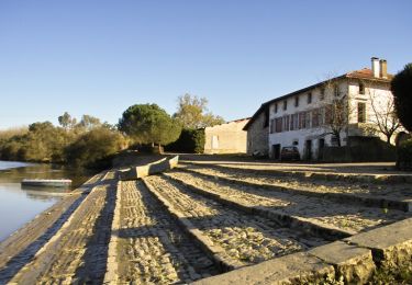
Le Lihoury qui rencontre la Bidouze et le château des Gramonts, sont au cœur de cette promenade patrimoniale. Plus de renseignements Office de Tourisme du Pays de Bidache Tel : 05 59 56 03 49 www.tourisme-pays-de-bidache.com


Marche
Cheval
Cheval
Marche

V.T.C.
Marche

Marche
Marche
Marche