


18 km | 21 km-effort


Utilisateur


Application GPS de randonnée GRATUITE
 SityTrail
IGN / Instituts géographiques
SityTrail World
Le monde est à vous
Randonnée Vélo de 38 km à découvrir à Grand Est, Moselle, Dieuze. Cette randonnée est proposée par tracegps.
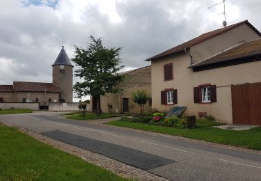
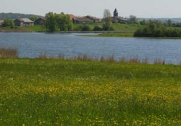
Cet itinéraire du Parc Naturel Régional de Lorraine vous mènera sur la route des zones humides qui sert de refuge à une multitude d’oiseaux : des observatoires y sont installés et la maison du Pays des Étangs à Tarquimpol est à elle seule un grand centre pédagogique qui vous dévoilera les secrets de ce haut lieu de la nature. Départ de l’Office de Tourisme de Dieuze. (Place de l'Hôtel de Ville). Retrouvez ici le plan et descriptif du circuit. Vous pouvez obtenir le guide par courrier auprès du Parc Naturel Régional de Lorraine.


Marche
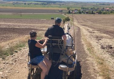
Attelage

Marche


Vélo
Vélo

Marche
Marche