


11 km | 13,7 km-effort


Utilisateur


Application GPS de randonnée GRATUITE
 SityTrail
IGN / Instituts géographiques
SityTrail World
Le monde est à vous
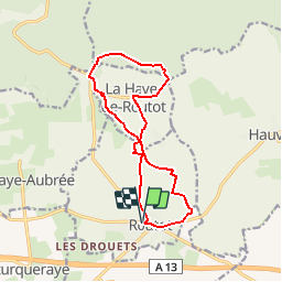
Randonnée Marche de 12,5 km à découvrir à Normandie, Eure, Routot. Cette randonnée est proposée par tracegps.
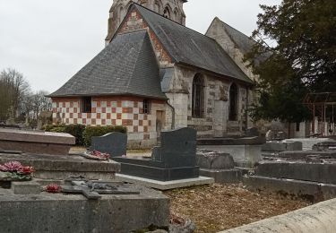
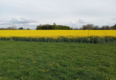
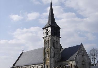
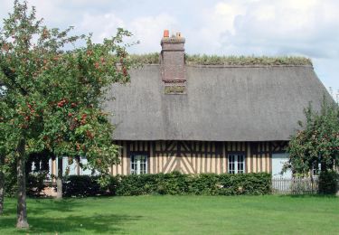
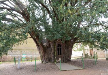
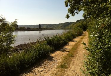
Circuit proposé par le pays du Roumois. Départ : place de l’hôtel de ville de Routot. Le circuit de Routot est situé dans le Parc Naturel Régional des Boucles de la Seine Normande. Il sillonne un paysage principalement bocager. Les vergers laissent la place aux prairies où paissent de calmes troupeaux. Les villages de Routot et de La Haye de Routot sont des occasions de halte pour visiter les écomusées qui retracent l’histoire de savoir-faire de la vie locale : la Maison du Lin, Le Four à Pain, le Musée du Sabotier. Retrouvez ici le circuit sur le site du Pays Roumois.


Marche
Marche
Marche
Marche
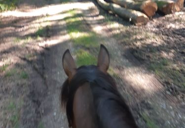
Randonnée équestre
Marche
Marche
Marche