


7,9 km | 11 km-effort

Utilisateur


Application GPS de randonnée GRATUITE
 SityTrail
IGN / Instituts géographiques
SityTrail World
Le monde est à vous
Randonnée Marche de 146 km à découvrir à Bourgogne-Franche-Comté, Jura, Saint-Amour. Cette randonnée est proposée par tracegps.
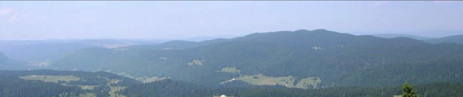
De Saint Amour à La Pesse par le Crêt Pela sur le GR 9®. Le GR 9® vous permettra de rejoindre St Amour dans le Jura à St Tropez… Sur le département 130 km permettent d’aller jusqu’aux Rousses avant de poursuivre par le sud du parc naturel régional du Haut Jura pour rejoindre La Pesse avant de basculer sur le département de l’Ain. Vous passerez par le lac de Vouglans et à proximité du crêt Pela (point culminant du Jura : 1495m)


Marche

Marche

Marche

Marche

Marche

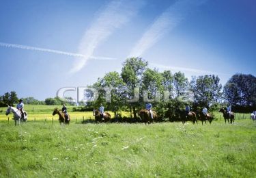
Cheval

V.T.T.
Marche

Marche