


15,2 km | 20 km-effort


Utilisateur


Application GPS de randonnée GRATUITE
 SityTrail
IGN / Instituts géographiques
SityTrail World
Le monde est à vous
Randonnée Marche de 3,3 km à découvrir à Occitanie, Aude, Val de Lambronne. Cette randonnée est proposée par tracegps.
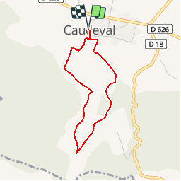
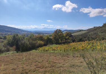
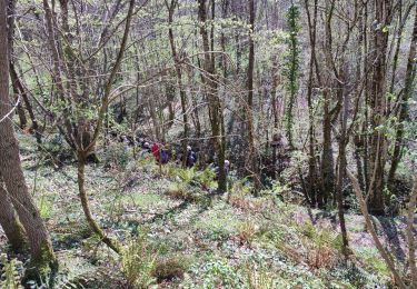
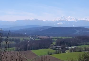
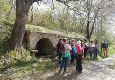
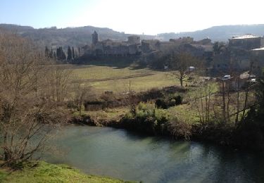
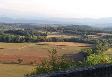
Circuit proposé par la Communauté de Communes du Chalabrais. Départ du château de Caudeval. Cette promenade domine le val d’Ambronne et l’ancienne bastide de Caudeval. Le château possède encore des éléments de construction du XIIe siècle. Cette vallée, autrefois empruntée par le chemin de fer, a connu de grandes transformations agricoles. Du point haut, le regard embrasse le Quercorb, le Razès et plus loin la Montagne Noire et les Pyrénées. Retrouvez le circuit et son descriptif sur le site de la Communauté de Communes du Chalabrais.


Marche
Marche

Marche
Marche
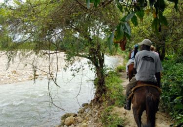
Cheval
Marche
Marche