![](/images/other/stat-length.png)
![Randonnée Marche Réaup-Lisse - Lisse, aux portes de la forêt Landaise - Pays d'Albret - Photo](https://media.geolcdn.com/t/1900/400/ext.pjpeg?maxdim=2&url=https%3A%2F%2Fservices.sitytrail.com%2FGeolivesWS%2FDownloadMedia.ashx%3FTrailID%3D110789%26Media%3D6291_1.jpg)
Lisse, aux portes de la forêt Landaise - Pays d'Albret
tracegps
Utilisateur
![Longueur](/images/other/stat-length.png)
![Altitude max](https://static1.geolcdn.com/siteimages/upload/files/1508320355ic_sort_altitude_max_24dp.png)
![Dénivelé positif](https://static1.geolcdn.com/siteimages/upload/files/1508320355ic_sort_den_pos_24dp.png)
![Km-Effort](/images/other/stat-length.png)
![Altitude min](https://static1.geolcdn.com/siteimages/upload/files/1508320355ic_sort_altitude_min_24dp.png)
![Dénivelé négatif](https://static1.geolcdn.com/siteimages/upload/files/1508320355ic_sort_den_neg_24dp.png)
![Boucle](https://static1.geolcdn.com/siteimages/upload/files/16400158638029165_repeat_loop_refresh_sync_direction_icon.png)
![Marche](https://static1.geolcdn.com/sitytour/trail-icons/101.png)
4h40
Difficulté : Difficile
![Scannez ce code QR pour ouvrir la randonnée dans l'application SityTrail](https://capi.geolives.com/qq0zvz2zws4bq2lad0pu/sitytour/trails/110789/qr.png?size=200)
Application GPS de randonnée GRATUITE
À propos
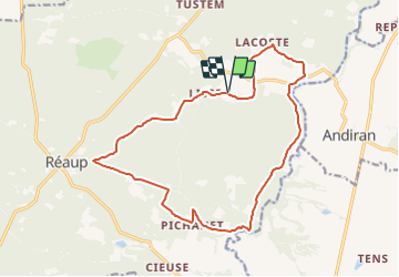
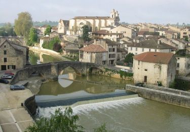
Randonnée Marche de 17,9 km à découvrir à Nouvelle-Aquitaine, Lot-et-Garonne, Réaup-Lisse. Cette randonnée est proposée par tracegps.
Description
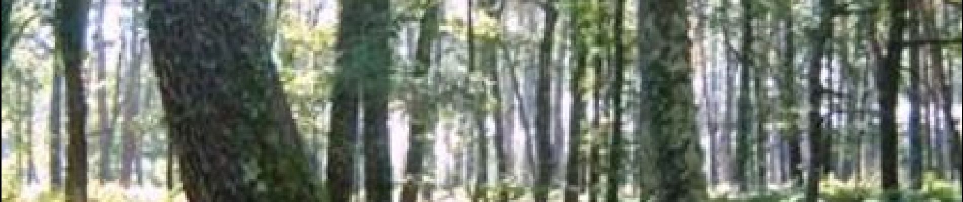
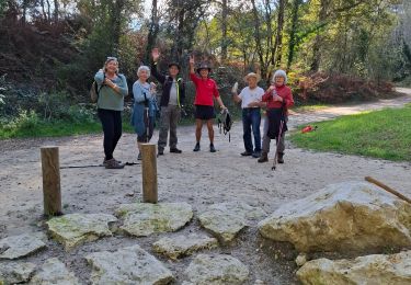
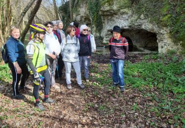
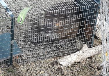
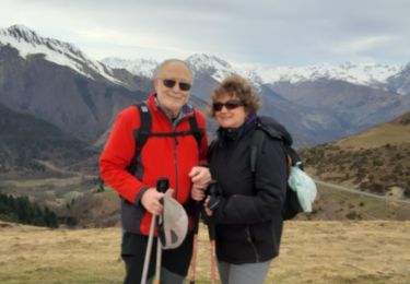
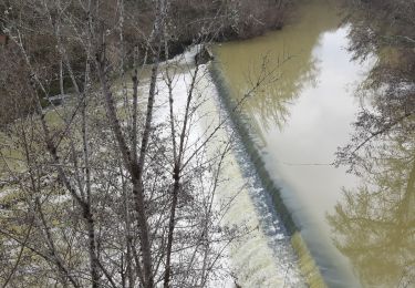
Lisse / Pichanet -commune de Réaup-Lisse -Cté de Communes du Mézinais. De Lisse, mairie annexe de Réaup, aux hameaux du Rey et de Pichanet, découvrez les marges de la plus grande forêt d’Europe, bordée par la Gélise. Téléchargez la fiche de cette randonnée sur le site du Tourisme du Lot et Garonne.
Localisation
Commentaires
Randonnées à proximité
![Randonnée Marche Barbaste - Cauderoue et Ste-Catherine, les pieds dans la Gélise - Pays d'Albret - Photo](https://media.geolcdn.com/t/375/260/ext.jpg?maxdim=2&url=https%3A%2F%2Fservices.sitytrail.com%2FGeolivesWS%2FDownloadMedia.ashx%3FTrailID%3D111589%26Media%3D7720_1.jpg)
![Marche Marche](https://static1.geolcdn.com/sitytour/trail-icons/101.png)
Marche
![](/images/other/stat-length.png)
![](https://static1.geolcdn.com/siteimages/upload/files/16400158638029165_repeat_loop_refresh_sync_direction_icon.png)
![Randonnée Marche Réaup-Lisse - Reaup mounicar - Photo](https://media.geolcdn.com/t/375/260/ac4c919e-74de-4535-9d56-5ca381ca3549.jpg&format=jpg&maxdim=2)
![Marche Marche](https://static1.geolcdn.com/sitytour/trail-icons/101.png)
Marche
![](/images/other/stat-length.png)
![](https://static1.geolcdn.com/siteimages/upload/files/16400158638029165_repeat_loop_refresh_sync_direction_icon.png)
![Randonnée Marche Barbaste - Cauderoue Ste Catherine Cauderoue - Photo](https://media.geolcdn.com/t/375/260/1868e338-dba3-43b0-8353-0fbee2d1d768.jpg&format=jpg&maxdim=2)
![Marche Marche](https://static1.geolcdn.com/sitytour/trail-icons/101.png)
Marche
![](/images/other/stat-length.png)
![](https://static1.geolcdn.com/siteimages/upload/files/16400158638029165_repeat_loop_refresh_sync_direction_icon.png)
![Randonnée Marche Barbaste - le Beas Barbaste - Photo](https://media.geolcdn.com/t/375/260/a29e6797-dd67-4a93-a5df-c8587a2185d5.jpg&format=jpg&maxdim=2)
![Marche Marche](https://static1.geolcdn.com/sitytour/trail-icons/101.png)
Marche
![](/images/other/stat-length.png)
![](https://static1.geolcdn.com/siteimages/upload/files/16400158638029165_repeat_loop_refresh_sync_direction_icon.png)
![Randonnée Marche Andiran - circuit Andiran forêt du Padoue Andiran - Photo](https://media.geolcdn.com/t/375/260/8975ab31-a5d1-4e0c-aed8-bd0c268b237b.jpg&format=jpg&maxdim=2)
![Marche Marche](https://static1.geolcdn.com/sitytour/trail-icons/101.png)
Marche
![](/images/other/stat-length.png)
![](https://static1.geolcdn.com/siteimages/upload/files/16400158638029165_repeat_loop_refresh_sync_direction_icon.png)
![Randonnée Marche Réaup-Lisse - col d'Azet - Photo](https://media.geolcdn.com/t/375/260/cc31ea4e-d861-4881-894d-737ed004b9ac.jpg&format=jpg&maxdim=2)
![Marche Marche](https://static1.geolcdn.com/sitytour/trail-icons/101.png)
Marche
![](/images/other/stat-length.png)
![](https://static1.geolcdn.com/siteimages/upload/files/16400158638029165_repeat_loop_refresh_sync_direction_icon.png)
![Randonnée Marche Barbaste - Cauderoue Barbaste boucle - Photo](https://media.geolcdn.com/t/375/260/26e17849-7d53-4b78-b4d9-37eb8316139d.jpg&format=jpg&maxdim=2)
![Marche Marche](https://static1.geolcdn.com/sitytour/trail-icons/101.png)
Marche
![](/images/other/stat-length.png)
![](https://static1.geolcdn.com/siteimages/upload/files/16400158638029165_repeat_loop_refresh_sync_direction_icon.png)
![Randonnée Marche Réaup-Lisse - La Sabliere Andiran la sablière - Photo](https://media.geolcdn.com/t/375/260/2ad808ec-4c80-410e-913c-250fc09ee87d.jpg&format=jpg&maxdim=2)
![Marche Marche](https://static1.geolcdn.com/sitytour/trail-icons/101.png)
Marche
![](/images/other/stat-length.png)
![](https://static1.geolcdn.com/siteimages/upload/files/16400158638029165_repeat_loop_refresh_sync_direction_icon.png)
![Randonnée V.T.T. Mézin - De Mézin à Nérac avec le petit train touristique - Photo](https://media.geolcdn.com/t/375/260/ext.jpg?maxdim=2&url=https%3A%2F%2Fservices.sitytrail.com%2FGeolivesWS%2FDownloadMedia.ashx%3FTrailID%3D317756%26Media%3D17065_5.jpg)
![V.T.T. V.T.T.](https://static1.geolcdn.com/sitytour/trail-icons/202.png)
V.T.T.
![](/images/other/stat-length.png)
![](https://static1.geolcdn.com/siteimages/upload/files/16400158638029165_repeat_loop_refresh_sync_direction_icon.png)