


15,2 km | 22 km-effort


Utilisateur


Application GPS de randonnée GRATUITE
 SityTrail
IGN / Instituts géographiques
SityTrail World
Le monde est à vous
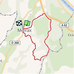
Randonnée Marche de 6,5 km à découvrir à Nouvelle-Aquitaine, Lot-et-Garonne, Moirax. Cette randonnée est proposée par tracegps.
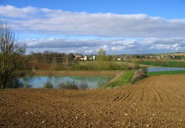
Moirax Cté de Communes du Canton de Laplume en Bruilhois. Aux portes d’Agen, ce petit circuit emprunte les chemins des premiers contreforts des coteaux de Gascogne. La vallée de la Garonne s’expose depuis le coteau du château de Lasboubées. Téléchargez la fiche de cette randonnée sur le site du Tourisme du Lot et Garonne.


Marche

V.T.T.

Marche

Marche
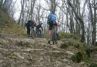
V.T.T.
Cheval

V.T.T.

Marche

Cheval