


17 km | 23 km-effort

Utilisateur


Application GPS de randonnée GRATUITE
 SityTrail
IGN / Instituts géographiques
SityTrail World
Le monde est à vous
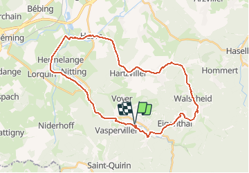
Randonnée Vélo de 33 km à découvrir à Grand Est, Moselle, Abreschviller. Cette randonnée est proposée par tracegps.
Ce circuit offre de nombreuses possibilités pour tous les niveaux de pratique. Ses 18 km de pistes sécurisées satisferont les familles tant la pratique y est aisée et agréable. Pour les plus sportifs, le circuit de 32km propose l'ascension du col de Saint Léon entre Abreschviller et Walscheid. Au sommet profitez-en pour visiter la grotte de Saint-Léon qui est la plus importante cavité naturelle de l'Est de la France.


Marche
Vélo

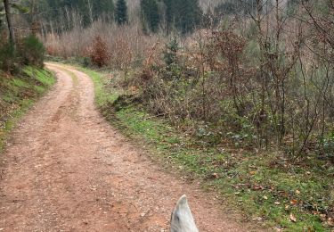
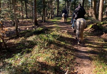
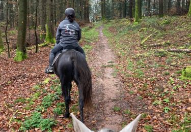
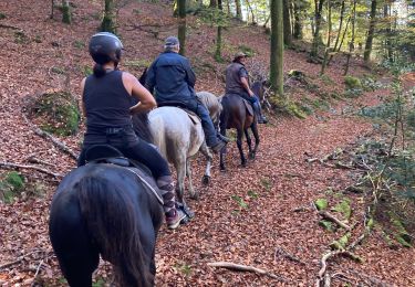
Randonnée équestre

V.T.T.
Randonnée équestre
Randonnée équestre
Randonnée équestre
Randonnée équestre
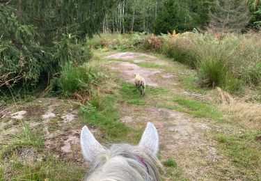
Randonnée équestre