


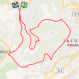


13,2 km | 16 km-effort

Utilisateur


Application GPS de randonnée GRATUITE
 SityTrail
IGN / Instituts géographiques
SityTrail World
Le monde est à vous
Randonnée Marche de 5,4 km à découvrir à Hauts-de-France, Aisne, Laon. Cette randonnée est proposée par tracegps.
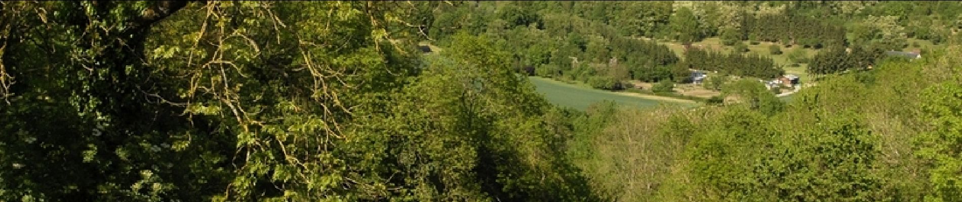
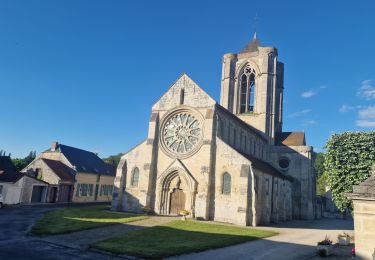
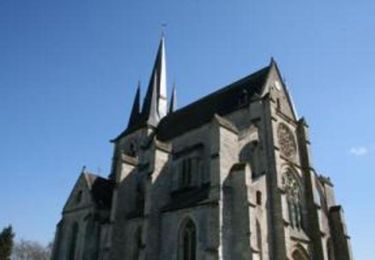
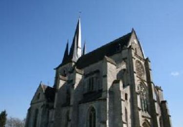
Surnommée la « Montagne Couronnée », la cité médiévale de Laon regorge d’un patrimoine insolite. En effet, fontaines, lavoirs et abreuvoirs recueillent l’eau de la multitude de sources qui naissent de la butte. Découvrez ce patrimoine étonnant et inattendu. Retrouvez d'autres informations ICI.

Marche
Marche

Marche
Marche

Marche

Marche
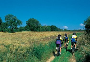
V.T.T.
Marche