


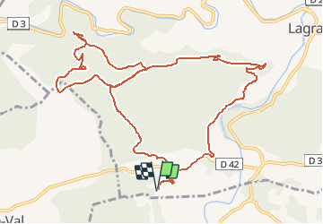

14,3 km | 19,7 km-effort

Utilisateur


Application GPS de randonnée GRATUITE
 SityTrail
IGN / Instituts géographiques
SityTrail World
Le monde est à vous
Randonnée Marche de 14,4 km à découvrir à Occitanie, Aude, Lagrasse. Cette randonnée est proposée par tracegps.
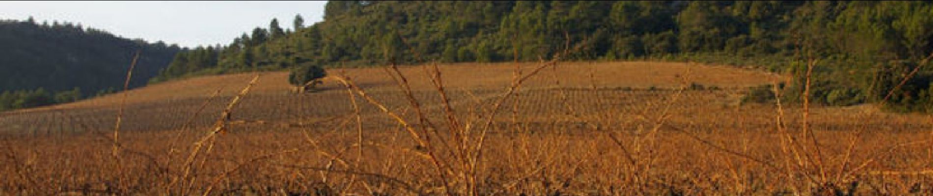
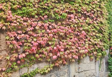
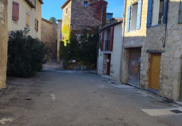
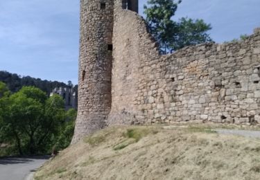
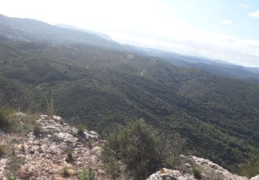
Une boucle entre la Métairie de Saint Auriol et Lagrasse en passant par la charmante Chapelle de Notre Dame du Carla dans les paysages sauvages des Corbières.

Marche
Marche
Marche
Marche
Marche
Marche

Marche
Marche
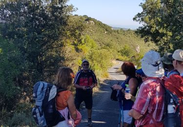
Nous marchons sur la route, les derniers kilomètres de la rando, dommage, hormis cet inconvénient, la rando est sympa