![](/images/other/stat-length.png)
![Randonnée Marche Richerenches - De Richerenches à Visan - Photo](https://media.geolcdn.com/t/1900/400/ext.pjpeg?maxdim=2&url=https%3A%2F%2Fservices.sitytrail.com%2FGeolivesWS%2FDownloadMedia.ashx%3FTrailID%3D110334%26Media%3D5779_1.jpg)
De Richerenches à Visan
tracegps
Utilisateur
![Longueur](/images/other/stat-length.png)
![Altitude max](https://static1.geolcdn.com/siteimages/upload/files/1508320355ic_sort_altitude_max_24dp.png)
![Dénivelé positif](https://static1.geolcdn.com/siteimages/upload/files/1508320355ic_sort_den_pos_24dp.png)
![Km-Effort](/images/other/stat-length.png)
![Altitude min](https://static1.geolcdn.com/siteimages/upload/files/1508320355ic_sort_altitude_min_24dp.png)
![Dénivelé négatif](https://static1.geolcdn.com/siteimages/upload/files/1508320355ic_sort_den_neg_24dp.png)
![Boucle](https://static1.geolcdn.com/siteimages/upload/files/16400158638029165_repeat_loop_refresh_sync_direction_icon.png)
![Marche](https://static1.geolcdn.com/sitytour/trail-icons/101.png)
3h30
Difficulté : Moyen
![Scannez ce code QR pour ouvrir la randonnée dans l'application SityTrail](https://capi.geolives.com/qq0zvz2zws4bq2lad0pu/sitytour/trails/110334/qr.png?size=200)
Application GPS de randonnée GRATUITE
À propos
Randonnée Marche de 16,6 km à découvrir à Provence-Alpes-Côte d'Azur, Vaucluse, Richerenches. Cette randonnée est proposée par tracegps.
Description
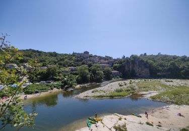
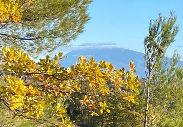
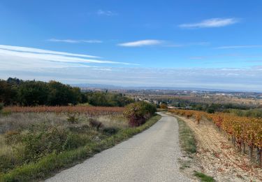
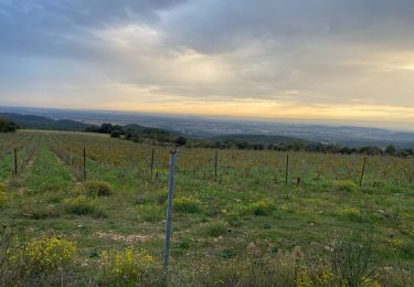
L’Enclave des Papes propose aux amoureux de la marche de nombreux circuits de randonnées, au départ de chacune des quatre communes. Reprenant le balisage du Conseil Général de Vaucluse, ces randonnées vous emmeneront tantôt au mileu des vignes et des champs de lavande, tantôt sous les bois de pins ou à proximité des champs de chênes truffiers, avec pour décor le Mont Ventoux ou la Lance. Vous partez vous promener, attention aux recommandations d’usage ! * Les espaces cultivés sont privés, merci de respecter le travail de chacun. * Avant de partir, pensez à emporter de l’eau en quantité suffisante. Les points d’eau sont peu nombreux sur les circuits. * Les chemins empruntés sont parfois caillouteux, pensez à vous chausser convenablement !
Localisation
Commentaires
Randonnées à proximité
![Randonnée Marche Montségur-sur-Lauzon - Bassin des druides. Montségur-lauzon - Photo](https://media.geolcdn.com/t/375/260/ext.jpg?maxdim=2&url=https%3A%2F%2Fservices.sitytrail.com%2FGeolivesWS%2FDownloadMedia.ashx%3FTrailID%3D892897%26Media%3Dfix__20180124152347.jpg)
![Marche Marche](https://static1.geolcdn.com/sitytour/trail-icons/101.png)
Marche
![](/images/other/stat-length.png)
![](https://static1.geolcdn.com/siteimages/upload/files/16400158638029165_repeat_loop_refresh_sync_direction_icon.png)
![Marche Marche](https://static1.geolcdn.com/sitytour/trail-icons/101.png)
Marche
![](/images/other/stat-length.png)
![](https://static1.geolcdn.com/siteimages/upload/files/16400158638029165_repeat_loop_refresh_sync_direction_icon.png)
![Randonnée Marche Chamaret - Borries de chamaret - Photo](https://media.geolcdn.com/t/375/260/b3d37c72-f479-4372-af81-515832aa3dd7.jpg&format=jpg&maxdim=2)
![Marche Marche](https://static1.geolcdn.com/sitytour/trail-icons/101.png)
Marche
![](/images/other/stat-length.png)
![](https://static1.geolcdn.com/siteimages/upload/files/16400158638029165_repeat_loop_refresh_sync_direction_icon.png)
![Randonnée Marche Visan - Visan petite balade - Photo](https://media.geolcdn.com/t/375/260/4d6906d4-89ce-4993-9d2f-363c7293a27e.jpg&format=jpg&maxdim=2)
![Marche Marche](https://static1.geolcdn.com/sitytour/trail-icons/101.png)
Marche
![](/images/other/stat-length.png)
![](https://static1.geolcdn.com/siteimages/upload/files/16400158638029165_repeat_loop_refresh_sync_direction_icon.png)
![Randonnée Marche Montségur-sur-Lauzon - la baume - Photo](https://media.geolcdn.com/t/375/260/eb762b23-82e9-4220-9c15-31359b3d81f6.jpg&format=jpg&maxdim=2)
![Marche Marche](https://static1.geolcdn.com/sitytour/trail-icons/101.png)
Marche
![](/images/other/stat-length.png)
![](https://static1.geolcdn.com/siteimages/upload/files/16400158638029165_repeat_loop_refresh_sync_direction_icon.png)
![Randonnée V.T.T. La Baume-de-Transit - Gravel - La Baume / Gigondas - Photo](https://media.geolcdn.com/t/375/260/e1aa9ea4-b99b-4e66-951d-5d72be6ddffb.jpg&format=jpg&maxdim=2)
![V.T.T. V.T.T.](https://static1.geolcdn.com/sitytour/trail-icons/202.png)
V.T.T.
![](/images/other/stat-length.png)
![](https://static1.geolcdn.com/siteimages/upload/files/16400158638029165_repeat_loop_refresh_sync_direction_icon.png)
![Randonnée V.T.C. Montségur-sur-Lauzon - Gravel - Baume SUZE par étang St Pierre BOLLENE Les Fangeons La Garde - Photo](https://media.geolcdn.com/t/375/260/46831bbd-c9eb-4b53-85ed-0dfa136f6d7e.jpg&format=jpg&maxdim=2)
![V.T.C. V.T.C.](https://static1.geolcdn.com/sitytour/trail-icons/203.png)
V.T.C.
![](/images/other/stat-length.png)
![](https://static1.geolcdn.com/siteimages/upload/files/16400158638029165_repeat_loop_refresh_sync_direction_icon.png)
![Randonnée V.T.T. La Baume-de-Transit - Circuit Bleu n°15 - Les Esparants - Photo](https://media.geolcdn.com/t/375/260/6bac2c63-74f1-4408-8fa4-28c147d7e3a1.png&format=jpg&maxdim=2)
![V.T.T. V.T.T.](https://static1.geolcdn.com/sitytour/trail-icons/202.png)
V.T.T.
![](/images/other/stat-length.png)
![](https://static1.geolcdn.com/siteimages/upload/files/16400158638029165_repeat_loop_refresh_sync_direction_icon.png)
![Randonnée V.T.T. La Baume-de-Transit - Circuit Vert n°3 - Les Balmes - Photo](https://media.geolcdn.com/t/375/260/987d802c-aebd-4bf1-a3af-671d0a565a46.png&format=jpg&maxdim=2)
![V.T.T. V.T.T.](https://static1.geolcdn.com/sitytour/trail-icons/202.png)
V.T.T.
![](/images/other/stat-length.png)
![](https://static1.geolcdn.com/siteimages/upload/files/16400158638029165_repeat_loop_refresh_sync_direction_icon.png)