


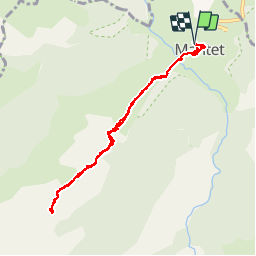

19,4 km | 34 km-effort


Utilisateur


Application GPS de randonnée GRATUITE
 SityTrail
IGN / Instituts géographiques
SityTrail World
Le monde est à vous
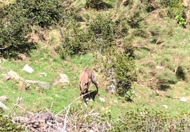
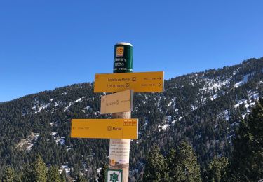
Randonnée Marche de 10,5 km à découvrir à Occitanie, Pyrénées-Orientales, Mantet. Cette randonnée est proposée par ThonyM.
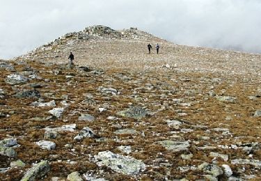
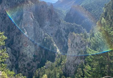
Sortie facile au départ du village de Mantet. Départ chaussures de marche puis raquettes avant d'entrer dans la forêt
Marche
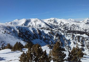
Raquettes à neige
Marche
Marche
Marche
Marche
Marche
Marche
Marche