


50 km | 58 km-effort

Utilisateur


Application GPS de randonnée GRATUITE
 SityTrail
IGN / Instituts géographiques
SityTrail World
Le monde est à vous
Randonnée Vélo de 34 km à découvrir à Hauts-de-France, Somme, Corbie. Cette randonnée est proposée par tracegps.
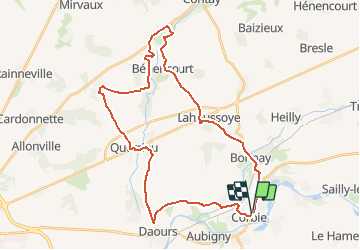
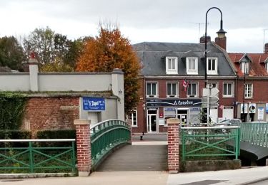
Les trois vallées - Corbie - Bavelincourt Départ : place de la République à Corbie. Une boucle pour découvrir la vallée de la Somme, la vallée de l’Ancre et la vallée de l’Hallue. À voir : Corbie : Abbatiale Saint-Pierre XVIè siècle, hôtel de ville, porte monumentale place de la République, musée d’histoire locale.


V.T.T.
Marche
A pied
A pied
A pied
Quad
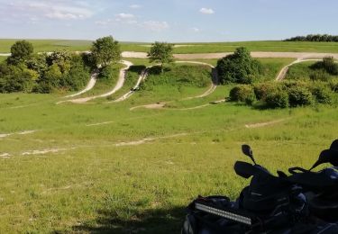
Quad

Quad
Quad