


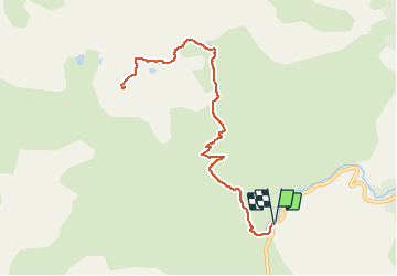

10,6 km | 19,3 km-effort

Utilisateur


Application GPS de randonnée GRATUITE
 SityTrail
IGN / Instituts géographiques
SityTrail World
Le monde est à vous
Randonnée Raquettes à neige de 11,3 km à découvrir à Nouvelle-Aquitaine, Pyrénées-Atlantiques, Laruns. Cette randonnée est proposée par tracegps.
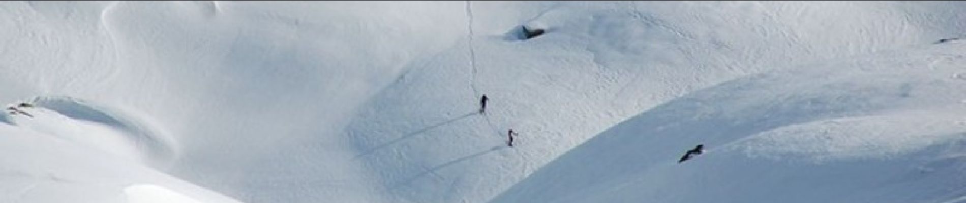
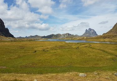
Raquettes au Pic de Peyreget 2487m depuis la cabane de l'araille (1720m) Le 360° au sommet du Peyreget est superbe avec la vue sur les quatre pointes du Jean-Pierre (Pic d'Ossau). Randonnée sans difficultés particulières, la montée du refuge de Pombie au Peyreget est assez soutenue. D’autres indications, photos et panoramiques sur le site « Les Pyrénées vues par Mariano ».


Marche

Marche

Marche

A pied
Marche

Marche

Marche

Marche
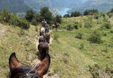
Randonnée équestre