


3,3 km | 4 km-effort

Utilisateur


Application GPS de randonnée GRATUITE
 SityTrail
IGN / Instituts géographiques
SityTrail World
Le monde est à vous
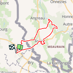
Randonnée Marche de 11,6 km à découvrir à Hauts-de-France, Nord, Eth. Cette randonnée est proposée par tracegps.
Circuit proposé par le comité départemental du tourisme du Nord. Départ de l’église d’Eth. Ce circuit transfrontalier emprunte des petites routes et des chemins agricoles. Le site classé du Caillou-qui-Bique invite à un comportement respectueux. Retrouvez cette randonnée sur le site du Comité Départemental du Tourisme du Nord.
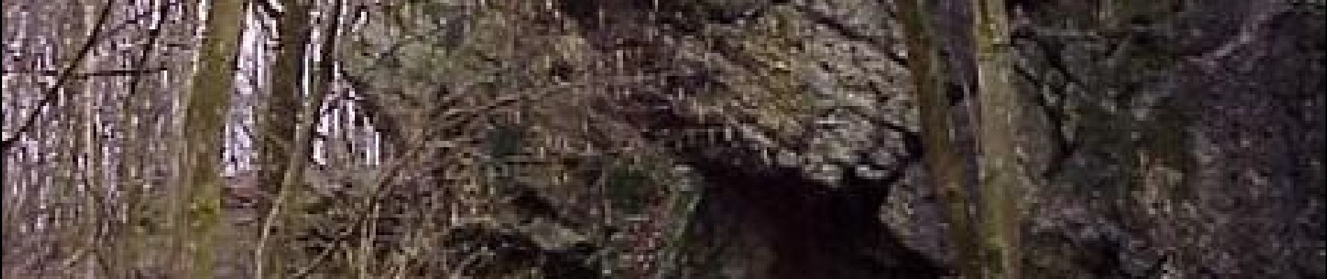
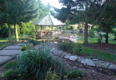
 - Photo 1")
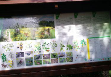
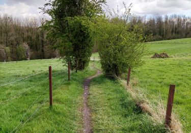
 - Photo 2")
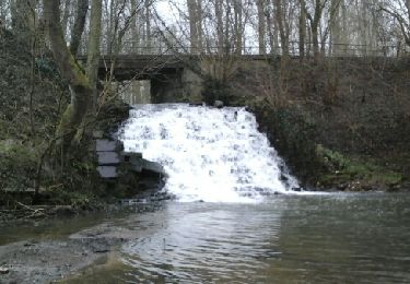
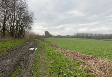
 - Photo 3")
Marche
Marche

Marche
Marche
Marche
Marche

Quad

Marche
Marche