


11,5 km | 13,7 km-effort


Utilisateur


Application GPS de randonnée GRATUITE
 SityTrail
IGN / Instituts géographiques
SityTrail World
Le monde est à vous
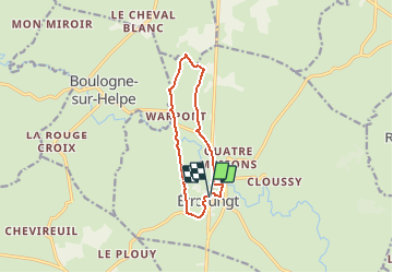
Randonnée Marche de 9 km à découvrir à Hauts-de-France, Nord, Étrœungt. Cette randonnée est proposée par tracegps.
Circuit proposé par le Syndicat d’Initiative de Etroeungt. Départ de l’église d’Etroeungt. Ce circuit, empruntant l'ancienne voie romaine de Bavay à Reims, offre de très beaux points de vue. Retrouvez cette randonnée sur le site du Syndicat d’Initiative de Etroeungt Ce circuit a été numérisé par les randonneurs du CODEPEM. Merci à Jean-Marie.
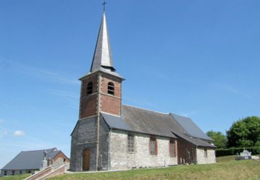
 - Photo 1")
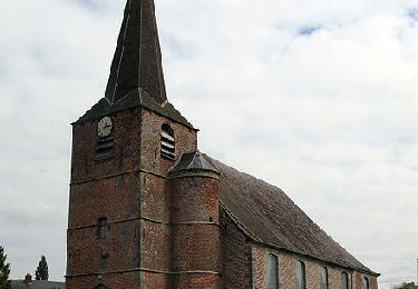
 - Photo 2")
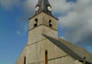
 - Photo 3")

Marche
Marche
Marche
Marche

Marche
Marche
Marche
Marche