


9 km | 10,3 km-effort


Utilisateur


Application GPS de randonnée GRATUITE
 SityTrail
IGN / Instituts géographiques
SityTrail World
Le monde est à vous
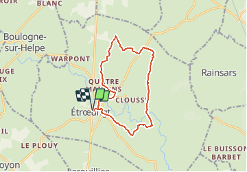
Randonnée Marche de 11,5 km à découvrir à Hauts-de-France, Nord, Étrœungt. Cette randonnée est proposée par tracegps.
Circuit proposé par le comité départemental du Nord et le Syndicat d’Initiative de Etroeungt. Départ de l’église d’Etroeungt. Ce circuit, au cœur de la Thiérache et de la vallée de l'Helpe Mineure, traverse des milieux très humides. Le port de chaussures étanches s'avère nécessaire quasi toute année. Retrouvez cette randonnée sur le site du Comité Départemental du Tourisme du Nord.
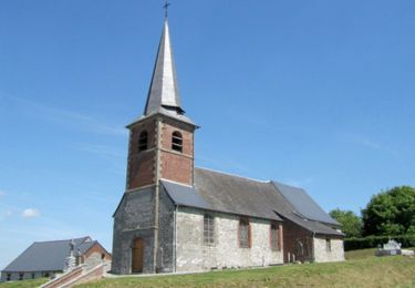
 - Photo 1")
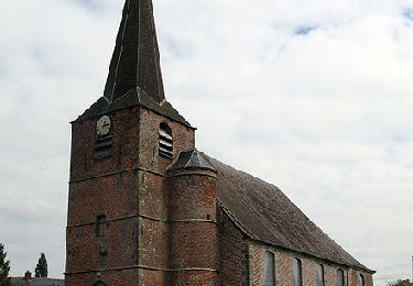
 - Photo 2")
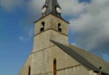
 - Photo 3")

Marche
Marche
Marche
Marche

Marche
Marche
Marche
Marche