


22 km | 25 km-effort

Utilisateur


Application GPS de randonnée GRATUITE
 SityTrail
IGN / Instituts géographiques
SityTrail World
Le monde est à vous
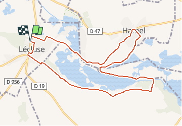
Randonnée Marche de 10,5 km à découvrir à Hauts-de-France, Nord, Lécluse. Cette randonnée est proposée par tracegps.
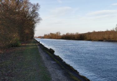
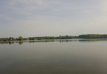
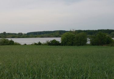
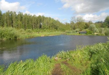
Autour des marais. Départ de l'église de Lécluse Circuit sans difficulté au coeur des marais de la Sensée. Les chemins offrent des vues intéressantes sur les étangs, n'oubliez pas vos jumelles. Retrouvez cette randonnée sur le site du Comité Départemental du Tourisme du Nord.
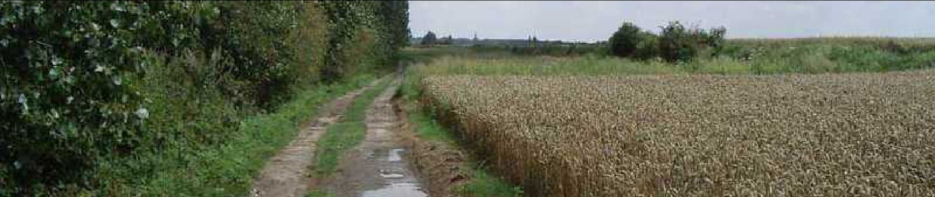
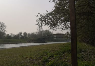
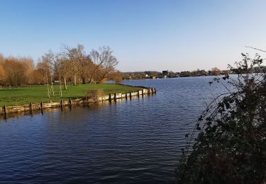
 - Photo 1")
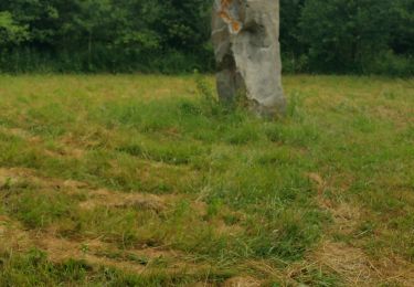
 - Photo 2")
 - Photo 3")
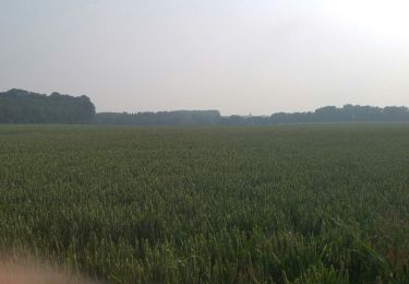
 - Photo 4")
 - Photo 5")
 - Photo 6")

A pied
Marche
Marche
Marche
Marche
Marche
Marche
Marche
Marche