


6,1 km | 8,9 km-effort


Utilisateur


Application GPS de randonnée GRATUITE
 SityTrail
IGN / Instituts géographiques
SityTrail World
Le monde est à vous
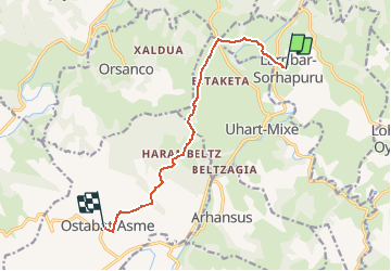
Randonnée Marche de 9,2 km à découvrir à Nouvelle-Aquitaine, Pyrénées-Atlantiques, Larribar-Sorhapuru. Cette randonnée est proposée par tracegps.
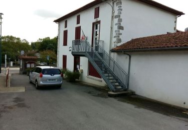
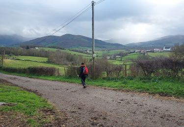
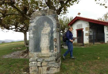
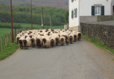
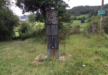
De Larribar - Sorhapuru à Ostabat Traversant la Bidouze et jouant à saute-mouton avec les premières collines de la Basse-Navarre, ce tronçon de la voie du Puy enchante le pèlerin et le randonneur avec ses pavés, ses panoramas et ses bosquets au détour de stèles et des chapelles de Soyarza et d’Harambeltz pour se terminer au village d’Ostabat. Téléchargez la carte et le descriptif de cette randonnée. Retrouvez d’autres itinéraires de rando sur le site Rando 64.


Marche
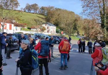
Marche
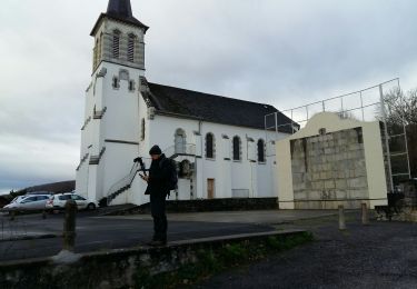
Marche
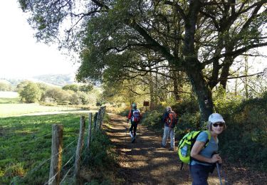
Marche
Marche
Marche
Marche
Marche
Marche