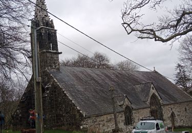
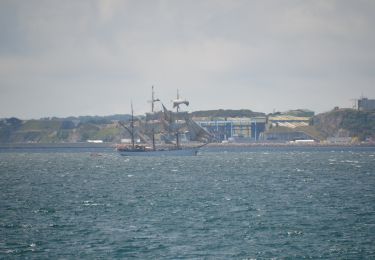
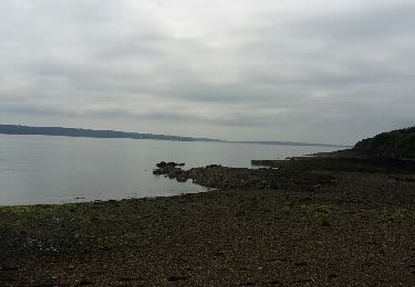
Randonnée Marche Plougastel-Daoulas - Du Port de Lauberlac'h au Port du Caro - Photo

Du Port de Lauberlac'h au Port du Caro

 tracegps
tracegps

Utilisateur

© OpenStreetMap contributors
Longueur
Longueur
14,6 km
Altitude max
Altitude max
79 m
Dénivelé positif
Dénivelé positif
292 m
Km-Effort
Km-Effort  
18,6 km
Altitude min
Altitude min
0 m
Dénivelé négatif
Dénivelé négatif
302 m
Boucle
Boucle
Oui
Date de création :
2014-12-10 00:00:00.0
Dernière modification :
2014-12-10 00:00:00.0

(1 Avis)

Marche
Marche
3h19
Difficulté : Moyen

Scannez ce code QR pour ouvrir la randonnée dans l'application SityTrail

Application GPS de randonnée GRATUITE

Logo SityTrail SityTrail

IGN / Instituts géographiques

Télécharger SityTrail sur l'App Store Télécharger SityTrail sur Google Play

Logo SityTrail SityTrail World

Le monde est à vous

Télécharger SityTrail sur l'App Store Télécharger SityTrail sur Google Play Télécharger SityTrail sur Huawei AppGallery

À propos

Randonnée Marche de 14,6 km à découvrir à Bretagne, Finistère, Plougastel-Daoulas. Cette randonnée est proposée par tracegps.

Description

Sur les Sentiers du Finistère - Du Port de Lauberlac'h au Port du Caro. Sur Sentier Côtier, retrouvez les sentiers du Finistère à travers des parcours que Thierry et Françoise ont effectués. Numérisation des circuits réalisée sur le terrain. Mise en garde de l’auteur : parfois des propriétés se construisent, des terrains deviennent inaccessibles ou des sentiers disparaissent faute d'être entretenus. Il faut donc quelquefois, même avec un GPS, improviser et modifier sa route pour ne pas fâcher un nouveau propriétaire récalcitrant. Ceux qui parcourent les chemins sont responsables de leur parcours et le tracé reste indicatif. Crédit photos ; ©Sentiercotier

Profil altimétrique

Photos

Localisation

Pays :
France
Région :
Bretagne
Département/Province :
Finistère
Commune :
Plougastel-Daoulas
Localité :
Unknown
Départ:(Dec)
Départ:(UTM)
395110 ; 5354913 (30U) N.

Commentaires

Veuillez vous connecter pour laisser un commentaire ou une note


vraiment une jolie randonnée, avec des paysages d'une beauté à couper le souffle.


Randonnées à proximité

Randonnée Marche Plougastel-Daoulas - Tour Pointe de l'Armorique - Photo
Marche

Marche

Facile
(2)
Plougastel-Daoulas, Bretagne, Finistère, France
9,2 km | 12,2 km-effort
2h 38min
Oui
Randonnée Marche Plougastel-Daoulas - Relecq-keruon 2023 - Photo
Marche
soenen

Marche

Facile
(1)
Plougastel-Daoulas, Bretagne, Finistère, France
13,8 km | 17 km-effort
3h 5min
Oui
Randonnée Marche Plougastel-Daoulas - circuit des chapelles à Plougastel - Photo
Marche
elianette

Marche

Moyen
Plougastel-Daoulas, Bretagne, Finistère, France
24 km | 30 km-effort
5h 37min
Oui
Randonnée Marche Plougastel-Daoulas - PLOUGASTEL-DAOULAS  - Photo
Marche
RonanDAGORN

Marche

Moyen
Plougastel-Daoulas, Bretagne, Finistère, France
12 km | 15,4 km-effort
3h 1min
Oui
Randonnée Marche nordique Plougastel-Daoulas - le corbeau le Caro Plougastel  - Photo
Marche nordique
elianette

Marche nordique

Très facile
Plougastel-Daoulas, Bretagne, Finistère, France
9,6 km | 12,4 km-effort
2h 4min
Oui
Randonnée A pied Plougastel-Daoulas - Presqu’île de plougastel - Photo
A pied
GUIDE+

A pied

Facile
Plougastel-Daoulas, Bretagne, Finistère, France
6,5 km | 8 km-effort
1h 49min
Non
Randonnée Marche Plougastel-Daoulas - PR Tour Kernisi - Le Caro - Saint Christine - Photo
Marche

Marche

Facile
Plougastel-Daoulas, Bretagne, Finistère, France
11,5 km | 14,8 km-effort
3h 14min
Oui
Randonnée Marche Plougastel-Daoulas - Boucle autour de Tinduff - Photo
Marche
herve.feurprier

Marche

Facile
Plougastel-Daoulas, Bretagne, Finistère, France
12,6 km | 15,2 km-effort
3h 12min
Oui
Randonnée Marche Plougastel-Daoulas - Port Tinduff - Photo
Marche
tracegps

Marche

Moyen
(2)
Plougastel-Daoulas, Bretagne, Finistère, France
10,8 km | 13,4 km-effort
2h 30min
Oui


Fermer
Mes abonnements