Randonnée Marche Saint-Gildas-de-Rhuys - Tour du Golfe du Morbihan - 02 - St Gildas de Rhuys, Sarzeau - Photo

Tour du Golfe du Morbihan - 02 - St Gildas de Rhuys, Sarzeau

 tracegps
tracegps

Utilisateur

© OpenStreetMap contributors
Longueur
Longueur
15,9 km
Altitude max
Altitude max
22 m
Dénivelé positif
Dénivelé positif
144 m
Km-Effort
Km-Effort  
17,8 km
Altitude min
Altitude min
0 m
Dénivelé négatif
Dénivelé négatif
145 m
Boucle
Boucle
Non
Date de création :
2014-12-10 00:00:00.0
Dernière modification :
2014-12-10 00:00:00.0

(0 Avis)

Marche
Marche
3h30
Difficulté : Moyen

Scannez ce code QR pour ouvrir la randonnée dans l'application SityTrail

Application GPS de randonnée GRATUITE

Logo SityTrail SityTrail

IGN / Instituts géographiques

Télécharger SityTrail sur l'App Store Télécharger SityTrail sur Google Play

Logo SityTrail SityTrail World

Le monde est à vous

Télécharger SityTrail sur l'App Store Télécharger SityTrail sur Google Play Télécharger SityTrail sur Huawei AppGallery

À propos

Randonnée Marche de 15,9 km à découvrir à Bretagne, Morbihan, Saint-Gildas-de-Rhuys. Cette randonnée est proposée par tracegps.

Description

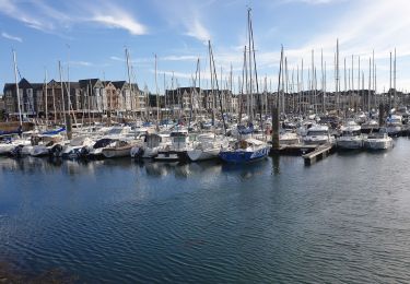
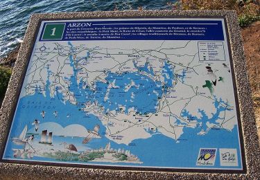
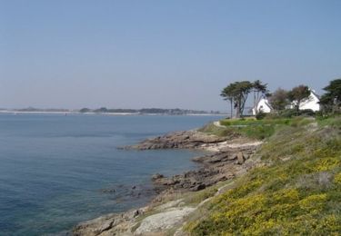
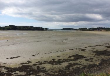
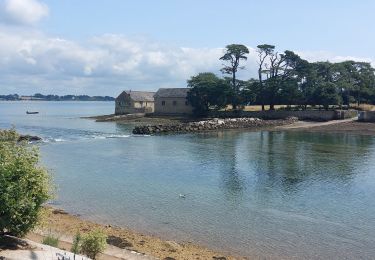
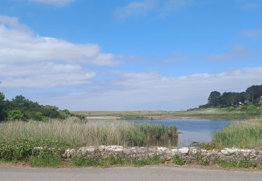
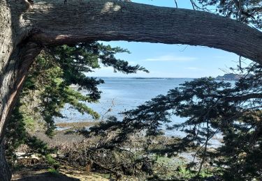
Tour du Golfe du Morbihan - 02 - St Gildas de Rhuys, Sarzeau PAR LES BAIES ET LES VILLAGES La côte nord de la presqu’île de Rhuys présente une succession d’anses très découpées. Ce cheminement donne ainsi une alternance de passages ombragés, de traversées de villages et de débouchés sur les plages et les grèves. À marée basse, ce sont d’immenses vasières qui sont découvertes, véritables réservoirs de nourriture pour les oiseaux d’eau. Un détour du sentier vous mène jusqu’à l’anse du Logeo, petit port qu’affectionnent les pêcheurs de bar et de dorades. La suite et beaucoup d’autres informations à propos du Tour du Golfe du Morbihan sur le site Bretagne – Rando.com. Crédit photos : © J.Y. Thiebault - T. Hair - Thomas & Thomas / Droits réservés CG 56

Profil altimétrique

Photos

Localisation

Pays :
France
Région :
Bretagne
Département/Province :
Morbihan
Commune :
Saint-Gildas-de-Rhuys
Localité :
Unknown
Départ:(Dec)
Départ:(UTM)
510440 ; 5265058 (30T) N.

Randonnées à proximité

Randonnée Marche Arzon - tour d'Arzon - Photo
Marche
tyax93

Marche

Facile
(1)
Arzon, Bretagne, Morbihan, France
12,6 km | 14,1 km-effort
3h 19min
Oui
Randonnée Marche Arzon - Tour du Golfe du Morbihan - 01 - Arzon - Photo
Marche
tracegps

Marche

Moyen
(1)
Arzon, Bretagne, Morbihan, France
18,9 km | 21 km-effort
4h 0min
Non
Randonnée Marche Arzon - Tour du Golfe - Arzon - Photo
Marche
tracegps

Marche

Moyen
(1)
Arzon, Bretagne, Morbihan, France
18,2 km | 20 km-effort
4h 30min
Oui
Randonnée Marche Sarzeau - Pointes de Bernon et de l'Ours - Photo
Marche
neoroll44

Marche

Moyen
(2)
Sarzeau, Bretagne, Morbihan, France
9,6 km | 10,8 km-effort
2h 22min
Oui
Randonnée Marche Sarzeau - autour de Brillac - Photo
Marche
fredouille661

Marche

Très facile
(2)
Sarzeau, Bretagne, Morbihan, France
9,5 km | 10,5 km-effort
2h 27min
Oui
Randonnée Marche Sarzeau - Circuit du Château de Truscat - Photo
Marche
corsinou

Marche

Facile
(1)
Sarzeau, Bretagne, Morbihan, France
7,4 km | 8,2 km-effort
1h 50min
Oui
Randonnée Marche Larmor-Baden - PR_56_Larmor-Baden_BA_02_Circuit4a_Tour-De-Berder-Et-Du-Marais_20240717 - Photo
Marche
patrickdanilo

Marche

Très facile
Larmor-Baden, Bretagne, Morbihan, France
9,6 km | 10,8 km-effort
1h 55min
Oui
Randonnée Marche Saint-Gildas-de-Rhuys - PR_56_St-Gildas-Rhuys_BA_02_Circuit1b_Les-Etangs_20240602 - Photo
Marche
patrickdanilo

Marche

Très facile
Saint-Gildas-de-Rhuys, Bretagne, Morbihan, France
12,9 km | 14,3 km-effort
3h 14min
Oui
Randonnée Marche Sarzeau - PR_56_Sarzeau_GA_07_Circuit1b_Regards-Sur-Le-Golfe_20240310 - Photo
Marche
patrickdanilo

Marche

Très facile
Sarzeau, Bretagne, Morbihan, France
8,3 km | 9,2 km-effort
2h 6min
Oui


Fermer
Mes abonnements