


7,2 km | 7,7 km-effort

Utilisateur


Application GPS de randonnée GRATUITE
 SityTrail
IGN / Instituts géographiques
SityTrail World
Le monde est à vous
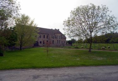
Randonnée Marche de 10,7 km à découvrir à Hauts-de-France, Nord, Leers. Cette randonnée est proposée par tracegps.
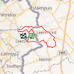
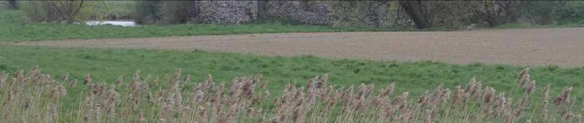
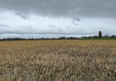
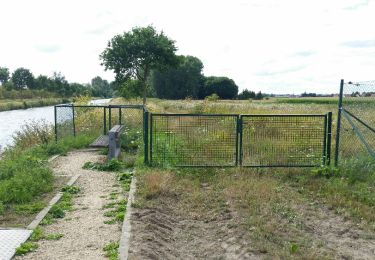
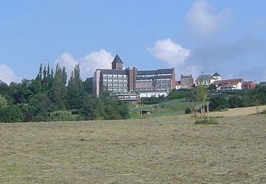
Départ de l’église St-Vaast à Leers (F). Ce circuit transfrontalier qui relie Leers (F) et Leers-Nord (B) traverse la plaine du Ferrain par de petites routes et chemins. Le retour se fait par le canal de Roubaix. Retrouvez ce circuit sur le site du Comité Départemental du Tourisme du Nord.


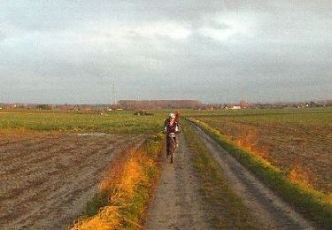
Marche
Marche
Marche
Vélo
Marche
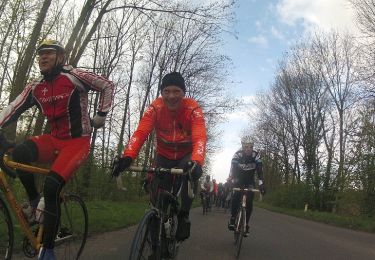
Vélo
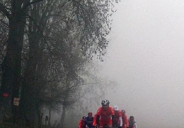
Vélo
V.T.T.
Vélo
Top