


5,3 km | 6,2 km-effort

Utilisateur


Application GPS de randonnée GRATUITE
 SityTrail
IGN / Instituts géographiques
SityTrail World
Le monde est à vous
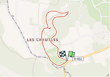
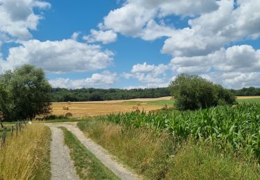
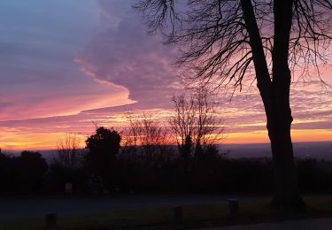
Randonnée Marche de 1,8 km à découvrir à Hauts-de-France, Aisne, Mons-en-Laonnois. Cette randonnée est proposée par tracegps.
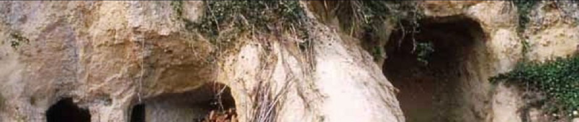
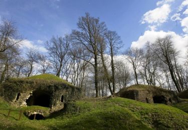
Ce petit circuit emprunte un temps le chemin des Creuttes, offrant de jolies vues sur ces anciennes et étonnantes habitations troglodytiques creusées dans les falaises et les affleurements rocheux. Retrouvez toutes les informations nécessaires ICI

Marche
Marche
Marche
Marche
Marche
Marche
Marche
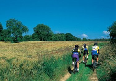
V.T.T.
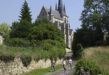
Marche