


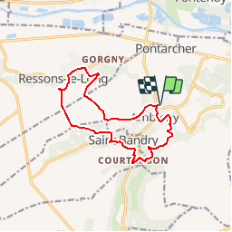

12,2 km | 14,2 km-effort

Utilisateur


Application GPS de randonnée GRATUITE
 SityTrail
IGN / Instituts géographiques
SityTrail World
Le monde est à vous
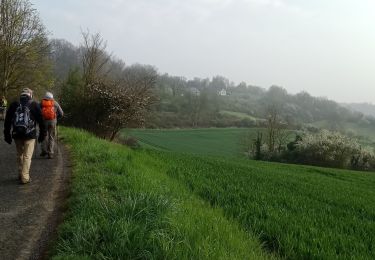
Randonnée Marche de 12,2 km à découvrir à Hauts-de-France, Aisne, Ambleny. Cette randonnée est proposée par tracegps.
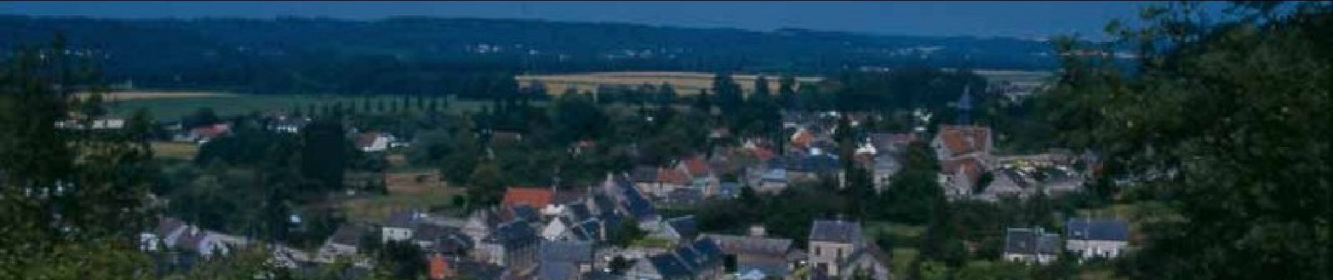
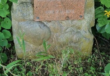
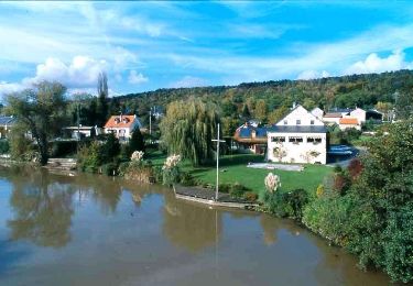
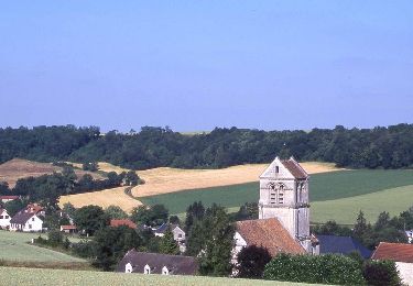
Ambleny, Ressons-le-Long, Saint-Bandry : trois villages typiques du Soissonnais reliés par une même légende, celle des pas de saint Martin, et par le ru du Retz, qui alimentait autrefois douze moulins, dont cinq à Ambleny. Toutes les infos sont ICI

Marche
Marche
Marche
Marche

Marche
Marche

Marche
Marche

Marche
super randonnée