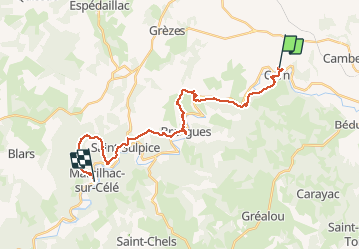


11,9 km | 16,5 km-effort

Utilisateur


Application GPS de randonnée GRATUITE
 SityTrail
IGN / Instituts géographiques
SityTrail World
Le monde est à vous
Randonnée Marche de 24 km à découvrir à Occitanie, Lot, Corn. Cette randonnée est proposée par tracegps.
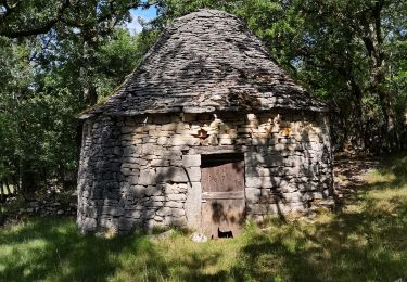
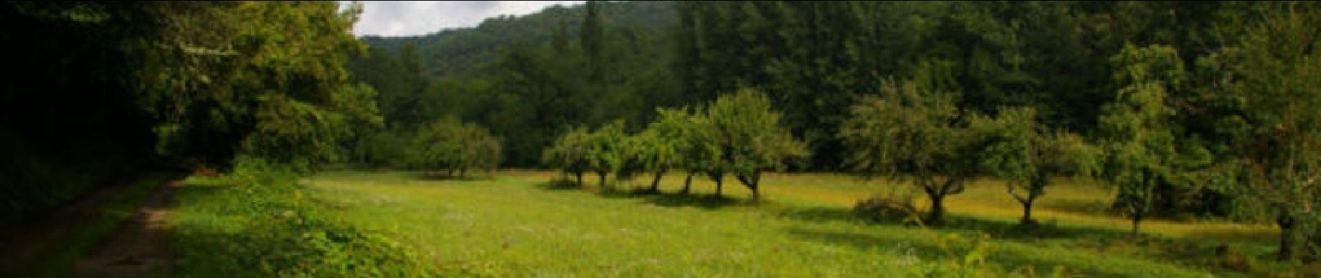
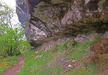
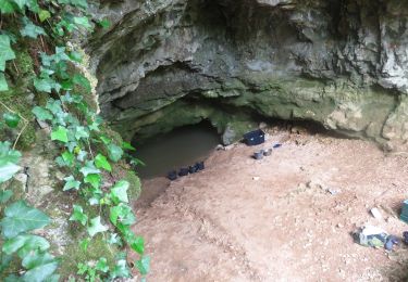
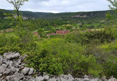
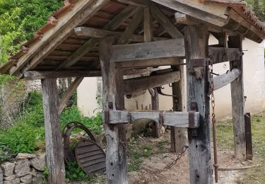
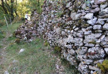
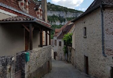
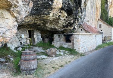
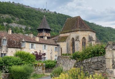
Quatorzième étape de notre Chemin de Compostelle qui nous mène de Corn à Marcilhac-sur-Célé. (Km 274,854 à Km 298,854) D’autres informations et photos sur le Chemin de Compostelle sont disponibles ICI Balade proposée par « Les Balades et Randonnées de Fred »


Marche
Marche
Marche
Marche
Marche
Marche

sport
Marche