


13,2 km | 16 km-effort


Utilisateur


Application GPS de randonnée GRATUITE
 SityTrail
IGN / Instituts géographiques
SityTrail World
Le monde est à vous
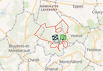
Randonnée Marche de 14,5 km à découvrir à Hauts-de-France, Aisne, Parfondru. Cette randonnée est proposée par tracegps.
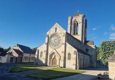
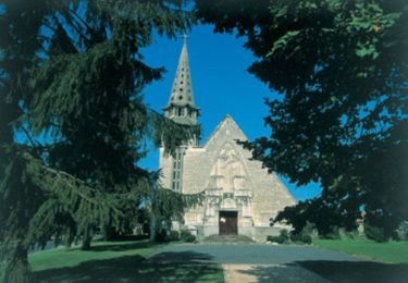
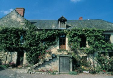
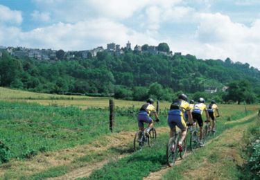
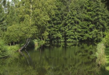
Ce territoire vous permettra d'appréhender la richesse du patrimoine naturel du Laonnois. Les landes, les bois aux ambiances submontagnardes, les prairies sèches et humides constituent autant de paysages différents où vous rencontrerez une diversité remarquable d'espèces animales et végétales. Toutes les infos sont ICI
Marche
Marche
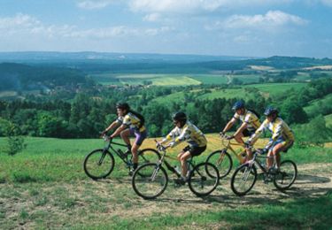
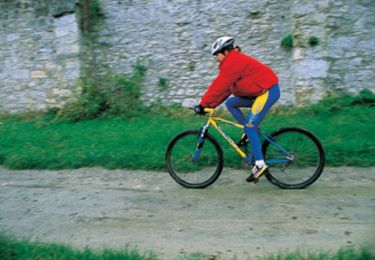
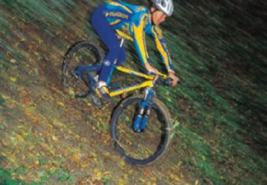
V.T.T.
V.T.T.
V.T.T.
V.T.T.
V.T.T.
V.T.T.
Marche