


22 km | 25 km-effort

Utilisateur


Application GPS de randonnée GRATUITE
 SityTrail
IGN / Instituts géographiques
SityTrail World
Le monde est à vous
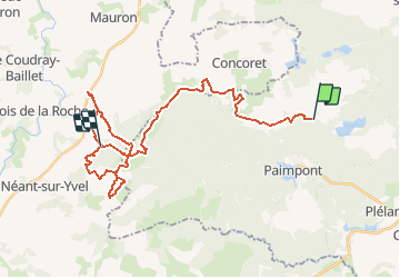
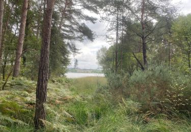
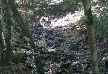
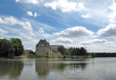
Randonnée Cheval de 31 km à découvrir à Bretagne, Ille-et-Vilaine, Paimpont. Cette randonnée est proposée par tracegps.
Balade présentée par l’Association des Amis du Cheval d'Ille et Vilaine D’autres informations sont disponibles sur le site de l’Equibreizh L’utilisation de ce tracé reste de la responsabilité des randonneurs équestres, c'est-à-dire qu'il appartient à ceux-ci de vérifier qu'au moment de leur utilisation, les circuits sont toujours corrects même si nous veillons à ce qu'ils le soient en permanence, et de plus notre responsabilité ne serait pas engagée si l'un des circuits était non praticable ou bouché, ou si l'utilisation était différente de celle que nous avons validée, à savoir équestre.

Marche

Marche
Marche
Marche
Marche

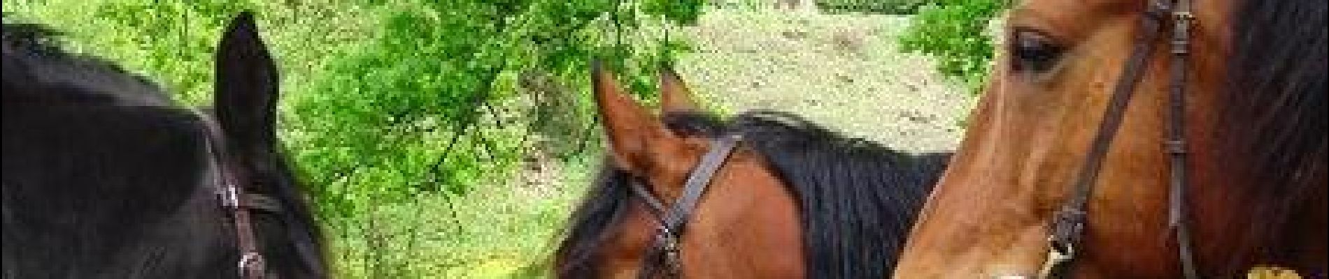
Cheval

Cheval

V.T.T.