


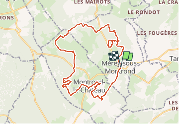


14,3 km | 19,7 km-effort

Utilisateur


Application GPS de randonnée GRATUITE
 SityTrail
IGN / Instituts géographiques
SityTrail World
Le monde est à vous
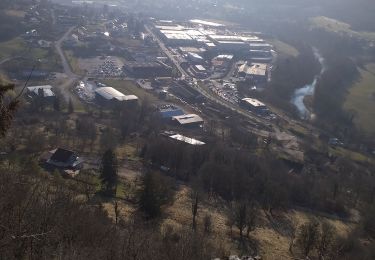
Randonnée Marche de 21 km à découvrir à Bourgogne-Franche-Comté, Doubs, Mérey-sous-Montrond. Cette randonnée est proposée par TRIMAILLE.
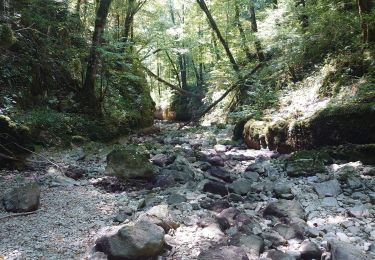
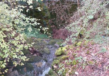
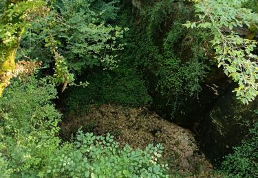
Randonnée karstique.


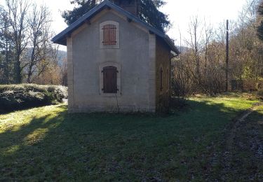
32 photos au total. Cliquez sur une photo pour les afficher toutes dans la galerie.
Marche

A pied

Marche
Marche
Marche
Marche

Marche nordique
Marche

Marche